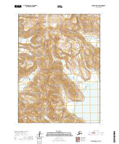
2020 Map of Port Moller D-1 SE
USGS Topo · Published 2020About this map
The Alaska Peninsula coastline takes center stage in this 2020 topographic study, where the steep, high-elevation terrain of the Aleutian Range meets the Pacific waters of Clark Bay. The landscape is dominated by extreme relief, with ridges rising sharply from the water's edge to summits exceeding 2,800 feet. This specific corner of the peninsula illustrates the complex geomorphology of Alaska's volcanic arc, where coastal inlets like Little Norway provide rare, sheltered breaks along an otherwise formidable and mountainous shoreline. The mapping of township and range lines across such vertical terrain highlights the challenges of surveying the remote Aleutians East region, where the intersection of water and ice-carved rock remains the defining characteristic of the landscape.
Find a feature on this map
7 named features on this map. Tap any name to fly to it.
Don’t see what you’re looking for? This feature index may not catch every label — zoom into the map to look around manually.
Map Details
Editions of this 2020 Port Moller D-1 SE Map
This is the sole edition of this map. No revisions or reprints were ever made.
Other maps of this area

1951 · Stepovak Bay
USGS Topo · 1:250,000

1953 · Port Moller
USGS Topo · 1:250,000

1963 · Port Moller C-1
USGS Topo · 1:63,360

1963 · Stepovak Bay D-6
USGS Topo · 1:63,360

1963 · Stepovak Bay
USGS Topo · 1:250,000
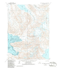
1963 · Port Moller D-1
USGS Topo · 1:63,360

1969 · Stepovak Bay
USGS Topo · 1:250,000

1988 · Port Moller
USGS Topo · 1:250,000
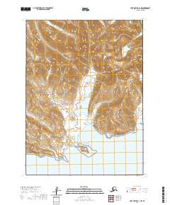
2020 · Port Moller C-1 NW
USGS Topo · 1:25,000
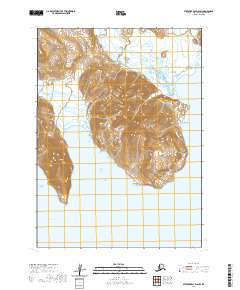
2020 · Stepovak Bay D-6 SW
USGS Topo · 1:25,000