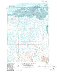
1963 Map of Port Moller D-4
USGS Topo · Published 1987About this map
Nelson Lagoon Village sits along the narrow spit separating the Bering Sea from the shallow waters of Nelson Lagoon. This remote maritime landscape is defined by the commercial and subsistence activity centered at the Nelson Lagoon Cannery and the inland reaches of the Sapsuk River. The terrain transitions from the low-lying Kudobin Islands and the tidal flats of Mud Bay to prominent coastal landmarks like Miner Hill and Big Hill. Local infrastructure is sparse, characterized by isolated dwellings and the State Fish and Game Cabin along the riverbanks. The intricate network of waterways, including Frank Creek and the Lefthead River, illustrates a complex drainage system across the tundra and marshlands typical of the Alaska Peninsula in the early 1960s.
Find a feature on this map
20 named features on this map. Tap any name to fly to it.
Don’t see what you’re looking for? This feature index may not catch every label — zoom into the map to look around manually.
Map Details
Editions of this 1963 Port Moller D-4 Map
2 editions found
Other maps of this area

1953 · Port Moller
USGS Topo · 1:250,000

1963 · Port Moller D-5
USGS Topo · 1:63,360

1963 · Port Moller C-5
USGS Topo · 1:63,360

1963 · Port Moller D-3
USGS Topo · 1:63,360
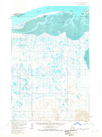
1963 · Port Moller D-4
USGS Topo · 1:63,360

1983 · Port Moller C-4
USGS Topo · 1:63,360

1983 · Port Moller C-3
USGS Topo · 1:63,360

1988 · Port Moller
USGS Topo · 1:250,000
2020 · Port Moller D-4 OE N SW
USGS Topo · 1:25,000
2020 · Port Moller D-3 NW
USGS Topo · 1:25,000