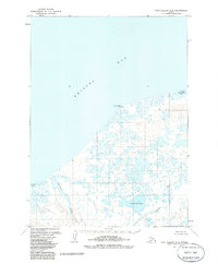
1963 Map of Port Moller D-6
USGS Topo · Published 1985About this map
Bristol Bay dominates the northwestern horizon of this Alaskan coastal survey, where a complex network of wetlands and tundra meet the sea. The shoreline is punctuated by Franks Point, where the Franks Point Cabin stands as a solitary human marker on the edge of the marshes. Inland, the landscape is defined by vast water bodies including Big Fish Lake and the Salt Water Lagoon, illustrating the saturated, low-lying character of this region during the early 1960s.
Find a feature on this map
16 named features on this map. Tap any name to fly to it.
Don’t see what you’re looking for? This feature index may not catch every label — zoom into the map to look around manually.
Map Details
Editions of this 1963 Port Moller D-6 Map
2 editions found
Other maps of this area

1943 · Fort Randall
USGS Topo · 1:250,000

1949 · Fort Randall
USGS Topo · 1:250,000

1950 · Fort Randall
USGS Topo · 1:250,000

1953 · Port Moller
USGS Topo · 1:250,000

1963 · Port Moller D-5
USGS Topo · 1:63,360

1963 · Port Moller C-5
USGS Topo · 1:63,360

1963 · Port Moller C-6
USGS Topo · 1:63,360
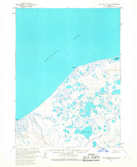
1963 · Port Moller D-6
USGS Topo · 1:63,360
1963 · Cold Bay D-1
USGS Topo · 1:63,360
1963 · Cold Bay C-1
USGS Topo · 1:63,360