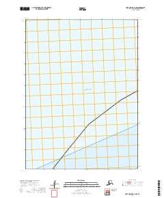
2020 Map of Port Moller D-6 NW
USGS Topo · Published 2020About this map
Bristol Bay dominates this coastal survey, where the waters meet the shorelines of the Aleutians East Borough. The map focuses on the marine and coastal interface within the Public Land Survey System regions of t49s r81w, t50s r82w, and t50s r81w. This specific chart highlights the maritime character of the region, providing a clear view of the bay's extent and the surveyed township boundaries that define the remote Alaskan coast in the early twenty-first century. It is a vital record for understanding the modern legal and topographical layout of this particular stretch of the Bristol Bay coast.
Find a feature on this map
5 named features on this map. Tap any name to fly to it.
Don’t see what you’re looking for? This feature index may not catch every label — zoom into the map to look around manually.
Map Details
Editions of this 2020 Port Moller D-6 NW Map
This is the sole edition of this map. No revisions or reprints were ever made.
Other maps of this area

1943 · Fort Randall
USGS Topo · 1:250,000

1949 · Fort Randall
USGS Topo · 1:250,000

1950 · Fort Randall
USGS Topo · 1:250,000

1953 · Port Moller
USGS Topo · 1:250,000
1963 · Port Moller D-6
USGS Topo · 1:63,360
1963 · Cold Bay D-1
USGS Topo · 1:63,360

1988 · Port Moller
USGS Topo · 1:250,000
2020 · Cold Bay D-1 SE
USGS Topo · 1:25,000
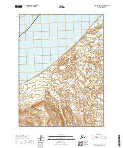
2020 · Port Moller D-6 SW
USGS Topo · 1:25,000
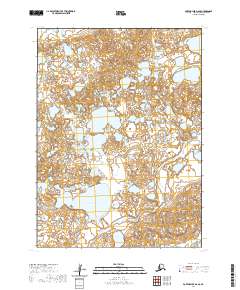
2020 · Port Moller D-6 SE
USGS Topo · 1:25,000