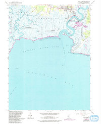
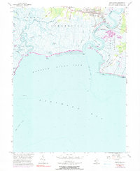
1956 Map of Port Norris
USGS Topo · Published 1993About this map
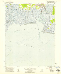
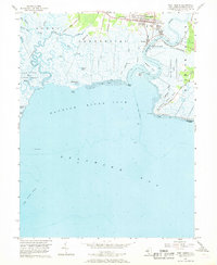
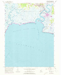
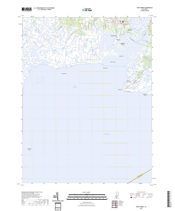
Maurice River shipping and the oyster industry define the landscape of this coastal survey, where the settlements of Port Norris, Bivalve, and Shell Pile cluster near the river's mouth. These locations reflect a specialized maritime economy, supported by infrastructure like the Wharf and Matts Landing. The interior salt marshes are intersected by numerous waterways such as Dividing Creek and Hansey Creek, while the expansive Egg Island State Wildlife Management Area and Berrytown State Wildlife Management Area preserve the surrounding wetlands.
Find a feature on this map
48 named features on this map. Tap any name to fly to it.
Don’t see what you’re looking for? This feature index may not catch every label — zoom into the map to look around manually.
Map Details
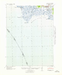
Editions of this 1956 Port Norris Map
5 editions found
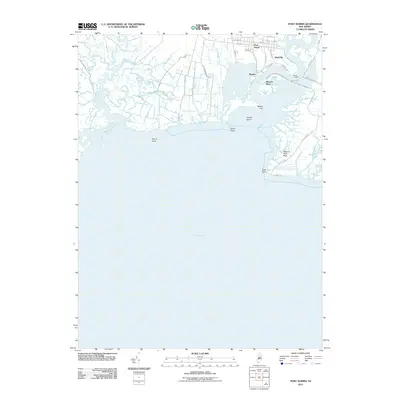
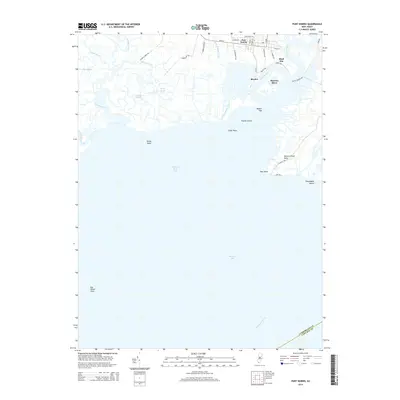
Historical Maps of Maurice River Township Through Time
7 maps found
Featured Locations
- Maurice River Township, NJ
- Commercial Township, NJ
- Downe Township, NJ
- Bivalve, Commercial Township
- Port Norris, Commercial Township