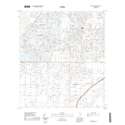
2021 Map of Port Richey NE
USGS Topo · Published 2021About this map
Spring Hill dominates the central landscape of this West Florida region, where residential development and natural hydrology meet. The area is characterized by a high concentration of karst features, including Rock Sink, Coffee Sink, and Blue Sink Pond, reflecting the limestone-heavy geography of the Brooksville Ridge. To the west, the Weeki Wachee Swamp borders the suburban growth of Weeki Wachee Acres, while the eastern portion is bisected by the modern Suncoast Pkwy.
Find a feature on this map
22 named features on this map. Tap any name to fly to it.
Don’t see what you’re looking for? This feature index may not catch every label — zoom into the map to look around manually.
Map Details
Editions of this 2021 Port Richey NE Map
This is the sole edition of this map. No revisions or reprints were ever made.
Other maps of this area
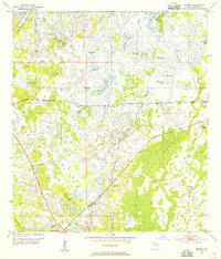
1954 · Ehren
USGS Topo · 1:24,000
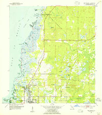
1954 · Port Richey
USGS Topo · 1:24,000
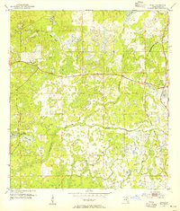
1954 · Fivay
USGS Topo · 1:24,000
1954 · Brooksville
USGS Topo · 1:24,000
1954 · Aripeka
USGS Topo · 1:24,000
1954 · Bayport
USGS Topo · 1:24,000
1954 · Masaryktown
USGS Topo · 1:24,000
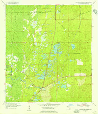
1954 · Weekiwachee Springs
USGS Topo · 1:24,000
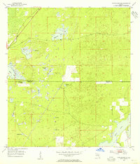
1954 · Port Richey NE
USGS Topo · 1:24,000
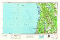
1955 · Plant City
USGS Topo · 1:250,000