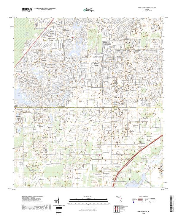
2024 Map of Port Richey NE
USGS Topo · Published 2024About this map
Spring Hill and Timber Pines anchor this contemporary survey of the suburban and karst-heavy landscape spanning the Hernando and Pasco County line. The map captures a densely developed region defined by residential clusters such as Weeki Wachee Acres and Heritage Pines, contrasted with natural limestone features including Rock Sink and Coffee Sink. The northern portion of the quadrangle is dominated by the Weeki Wachee Swamp and the waters of Weekiwachee Prairie Lake, while the southeastern corner reveals a mix of wetlands and managed lands around Crews Lake and the Jumping Gully. Modern transit is represented by the dual corridors of the Suncoast Pkwy and the adjacent Suncoast Trl, which provide a structural spine through Shady Hills and toward the Loyce Cem.
Find a feature on this map
26 named features on this map. Tap any name to fly to it.
Don’t see what you’re looking for? This feature index may not catch every label — zoom into the map to look around manually.
Map Details
Editions of this 2024 Port Richey NE Map
This is the sole edition of this map. No revisions or reprints were ever made.
Other maps of this area

1954 · Ehren
USGS Topo · 1:24,000

1954 · Port Richey
USGS Topo · 1:24,000

1954 · Fivay
USGS Topo · 1:24,000

1954 · Brooksville
USGS Topo · 1:24,000

1954 · Aripeka
USGS Topo · 1:24,000

1954 · Bayport
USGS Topo · 1:24,000

1954 · Masaryktown
USGS Topo · 1:24,000

1954 · Weekiwachee Springs
USGS Topo · 1:24,000

1954 · Port Richey NE
USGS Topo · 1:24,000

1955 · Plant City
USGS Topo · 1:250,000