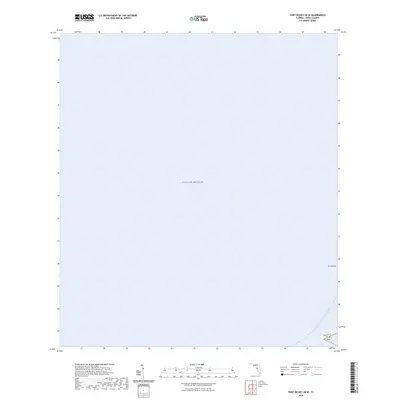
2024 Map of Port Richey OE W
USGS Topo · Published 2024About this map
Gulf of Mexico waters dominate this coastal survey, focusing on the small islands and marine pathways just off the Pasco County shore. The map highlights maritime geography rather than inland development, featuring Durney Key and Green Key as prominent natural landmarks. These keys serve as points of interest along the Florida Circumnavigational Paddling Trl, a route that traces the state’s extensive coastline. On the far edge of the sheet, the transition from sea to land is marked by Green Key Rd, providing a specific terrestrial reference point for this otherwise aquatic-focused quadrant. The absence of heavy urban development in this particular section of the coastline emphasizes the protected or undeveloped nature of these keys and the adjacent waters.
Find a feature on this map
5 named features on this map. Tap any name to fly to it.
Don’t see what you’re looking for? This feature index may not catch every label — zoom into the map to look around manually.
Map Details
Editions of this 2024 Port Richey OE W Map
This is the sole edition of this map. No revisions or reprints were ever made.
Other maps of this area

1943 · Tarpon Springs
USGS Topo · 1:31,680

1943 · Elfers
USGS Topo · 1:24,000

1944 · Elfers
USGS Topo · 1:31,680

1948 · Elfers
USGS Topo · 1:25,000

1954 · Port Richey
USGS Topo · 1:24,000

1954 · Aripeka
USGS Topo · 1:24,000

1955 · Plant City
USGS Topo · 1:250,000

1958 · Plant City
USGS Topo · 1:250,000

1959 · Plant City
USGS Topo · 1:250,000

1964 · Plant City
USGS Topo · 1:250,000