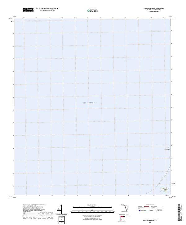
2025 Map of Port Richey OE W
USGS Topo · Published 2025About this map
The Gulf of America dominates this coastal survey along the Pasco County shoreline. Primarily a maritime record, the map focuses on the shallow nearshore waters where the Gulf meets the Florida mainland. The landscape is characterized by small islands and coastal access points, such as Durney Key and Green Key, which anchor the southeastern corner of the sheet. The modern alignment of Green Key Rd provides one of the few terrestrial landmarks in an area otherwise defined by its aquatic geography. This 2025 edition tracks the Florida Circumnavigational Paddling Trl, illustrating the state's contemporary emphasis on water-based recreation and trail connectivity along its western coast. The limited land area emphasizes the low-lying nature of the Gulf coast, where subtle changes in elevation determine the boundary between mainland and sea.
Find a feature on this map
5 named features on this map. Tap any name to fly to it.
Don’t see what you’re looking for? This feature index may not catch every label — zoom into the map to look around manually.
Map Details
Editions of this 2025 Port Richey OE W Map
This is the sole edition of this map. No revisions or reprints were ever made.
Other maps of this area

1943 · Tarpon Springs
USGS Topo · 1:31,680

1943 · Elfers
USGS Topo · 1:24,000

1944 · Elfers
USGS Topo · 1:31,680

1948 · Elfers
USGS Topo · 1:25,000

1954 · Port Richey
USGS Topo · 1:24,000

1954 · Aripeka
USGS Topo · 1:24,000

1955 · Plant City
USGS Topo · 1:250,000

1958 · Plant City
USGS Topo · 1:250,000

1959 · Plant City
USGS Topo · 1:250,000

1964 · Plant City
USGS Topo · 1:250,000