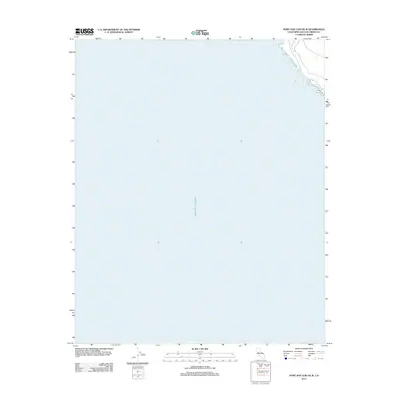
2012 Map of Port San Luis OE W
USGS Topo · Published 2012About this map
The vast expanse of the Pacific Ocean dominates this coastal maritime chart off the shoreline of San Luis Obispo County. Produced in the early 21st century by the U.S. Geological Survey, this quadrangle represents the open water and maritime approaches south of the central California coast. The map is almost entirely hydrographic in nature, focusing on the deep-water territory and the bathymetry implied by the shelf edge. Only a sliver of the rocky shoreline is visible along the northeastern margin, providing a precise spatial reference for the marine interface. This specific sheet serves as a critical spatial baseline for researchers studying the offshore environment and maritime corridors of the central coast prior to more recent ecological and navigational shifts.
Find a feature on this map
1 named feature on this map. Tap any name to fly to it.
Don’t see what you’re looking for? This feature index may not catch every label — zoom into the map to look around manually.
Map Details
Editions of this 2012 Port San Luis OE W Map
This is the sole edition of this map. No revisions or reprints were ever made.
Other maps of this area

1897 · Port Harford
USGS Topo · 1:62,500

1897 · Cayucos
USGS Topo · 1:62,500

1900 · San Luis
USGS Topo · 1:125,000

1937 · Cayucos
USGS Topo · 1:62,500

1941 · Port San Luis
USGS Topo · 1:62,500

1943 · Cayucos
USGS Topo · 1:62,500
1945 · Port San Luis
USGS Topo · 1:62,500

1947 · San Luis Obispo
USGS Topo · 1:250,000

1948 · San Luis Obispo
USGS Topo · 1:250,000
1951 · Port San Luis
USGS Topo · 1:62,500