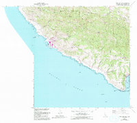
1965 Map of Port San Luis
USGS Topo · Published 1994About this map
Montana De Oro State Park and the complex terrain of the Irish Hills dominate this coastal survey, which captures the industrial and natural intersection of the Central Coast in the mid-1960s. The shoreline is characterized by prominent landmarks like Point San Luis and the Diablo Canyon Power Plant, with its associated substation and filtration plant accessed via Diablo Canyon Road.
Find a feature on this map
45 named features on this map. Tap any name to fly to it.
Don’t see what you’re looking for? This feature index may not catch every label — zoom into the map to look around manually.
Map Details
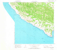
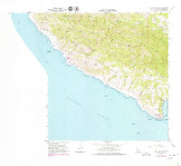
Editions of this 1965 Port San Luis Map
3 editions found
Other maps of this area

1897 · Port Harford
USGS Topo · 1:62,500

1897 · San Luis Obispo
USGS Topo · 1:62,500

1897 · Cayucos
USGS Topo · 1:62,500

1897 · Arroyo Grande
USGS Topo · 1:62,500

1900 · San Luis
USGS Topo · 1:125,000

1937 · Cayucos
USGS Topo · 1:62,500

1941 · Port San Luis
USGS Topo · 1:62,500

1942 · San Luis Obispo
USGS Topo · 1:62,500

1942 · Arroyo Grande
USGS Topo · 1:62,500

1943 · Cayucos
USGS Topo · 1:62,500