1943 Map of Port St. Joe
USGS Topo · Published 1943About this map
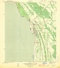
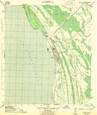
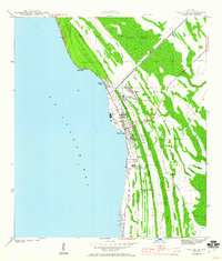
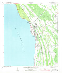
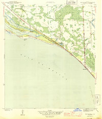
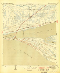
Port St Joe and its adjacent coastal settlements are documented here during the early 1940s, revealing an industrial and maritime landscape shaped by the St Joseph Bay shoreline. This wartime survey by the Corps of Engineers shows the town's grid expanding near Constitution Park and the intersection of the Apalachicola Northern railroad. The geography is defined by a sharp contrast between the town's development and the dense, swampy interior to the east.
Find a feature on this map
20 named features on this map. Tap any name to fly to it.
Don’t see what you’re looking for? This feature index may not catch every label — zoom into the map to look around manually.
Map Details
Editions of this 1943 Port St. Joe Map
5 editions found
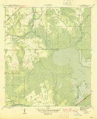
Other maps of this area
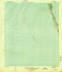
1943 · St Joseph Spit
USGS Topo · 1:31,680
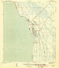
1943 · Port St. Joe
USGS Topo · 1:31,680
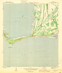
1943 · Cape San Blas
USGS Topo · 1:31,680
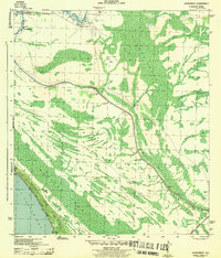
1943 · Overstreet
USGS Topo · 1:31,680

1943 · Indian Pass
USGS Topo · 1:24,000
1944 · Beacon Hill
USGS Topo · 1:31,680

1944 · White City
USGS Topo · 1:24,000
1945 · Lake Wimico
USGS Topo · 1:31,680

1945 · White City
USGS Topo · 1:31,680
1945 · Indian Pass
USGS Topo · 1:31,680