1943 Map of Port St. Joe
USGS Topo · Published 1960About this map
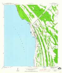
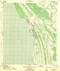
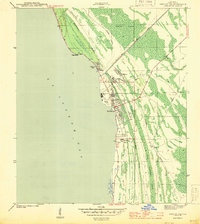
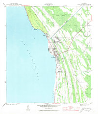
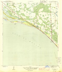
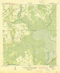
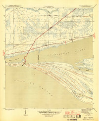
Port St Joe sits at a critical junction of coastal industry and rail transport during the early 1940s, serving as a hub for timber and maritime logistics along the shores of St Joseph Bay. The landscape is defined by the heavy footprint of the logging industry, evidenced by the Logging RR and the Old Parkwood Tramroad threading through the dense George Washington Swamp and Panther Swamp. These transit lines carried timber from the interior to the Gulf County Canal and the industrial infrastructure at Milltown. Along the coast, the settlement of Highland View and the recreational space at Constitution Park provide a look at local life beyond the mills. The presence of the Apalachicola Northern railroad further highlights the area's importance as a strategic transport corridor for the Florida panhandle during the war years.
Find a feature on this map
20 named features on this map. Tap any name to fly to it.
Don’t see what you’re looking for? This feature index may not catch every label — zoom into the map to look around manually.
Map Details
Editions of this 1943 Port St. Joe Map
5 editions found
Other maps of this area
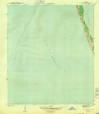
1943 · St Joseph Spit
USGS Topo · 1:31,680
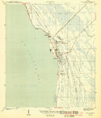
1943 · Port St. Joe
USGS Topo · 1:31,680
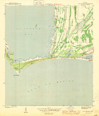
1943 · Cape San Blas
USGS Topo · 1:31,680
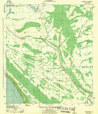
1943 · Overstreet
USGS Topo · 1:31,680

1943 · Indian Pass
USGS Topo · 1:24,000
1944 · Beacon Hill
USGS Topo · 1:31,680

1944 · White City
USGS Topo · 1:24,000
1945 · Lake Wimico
USGS Topo · 1:31,680

1945 · White City
USGS Topo · 1:31,680
1945 · Indian Pass
USGS Topo · 1:31,680