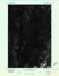
1975 Map of Portage NE
USGS Topo · Published 1981About this map
Hanford marks a small pocket of activity within this otherwise heavily forested landscape of northern Aroostook County. Derived from aerial photography captured in 1975, this orthophotograph highlights the relationship between isolated settlements and the dense woodland typical of the region. The map reveals the precise layout of timber roads and clearings that characterize the local economy, where remote homesteads and logging operations are the primary features of the terrain. The visual data provides a clear record of the area's vegetation patterns and land use just before the 1980s, documenting a time when northern Maine's identity was deeply rooted in its timberlands and the small communities that supported them.
Find a feature on this map
1 named feature on this map. Tap any name to fly to it.
Don’t see what you’re looking for? This feature index may not catch every label — zoom into the map to look around manually.
Map Details
Editions of this 1975 Portage NE Map
This is the sole edition of this map. No revisions or reprints were ever made.
Other maps of this area

1927 · Stockholm
USGS Topo · 1:48,000

1927 · Square Lake
USGS Topo · 1:48,000

1929 · Portage
USGS Topo · 1:62,500

1929 · Caribou
USGS Topo · 1:48,000

1931 · Square Lake
USGS Topo · 1:62,500

1931 · Portage
USGS Topo · 1:62,500

1931 · Stockholm
USGS Topo · 1:62,500

1932 · Caribou
USGS Topo · 1:62,500

1953 · Stockholm
USGS Topo · 1:62,500

1953 · Square Lake
USGS Topo · 1:62,500