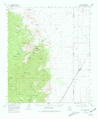
1958 Map of Portal
USGS Topo · Published 1981About this map
Chiricahua Mountains dominate this 1950s-era landscape, where the rugged topography of the high peaks transitions sharply into the desert floor across the Arizona New Mexico border. Small settlements like Paradise and Portal are situated at the mouths of deep drainages such as Cave Creek Canyon, reflecting a long history of mining and forestry. Evidence of the region’s earlier mining boom persists at Cochise Mine and the site of Galeyville, while the arrival of the Southern Pacific railroad facilitated the growth of Rodeo on the New Mexico side. The map details a shift toward scientific and recreational land use, prominently featuring the Southwestern Research Station and several developed sites like the Herb Martyr Forest Camp and Sunny Flat Picnic Ground. High elevation landmarks including Silver Peak and Portal Peak oversee the complex network of Jeep Trails and the historic Snowshed Trail.
Find a feature on this map
62 named features on this map. Tap any name to fly to it.
Don’t see what you’re looking for? This feature index may not catch every label — zoom into the map to look around manually.
Map Details
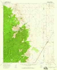
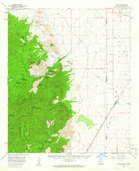
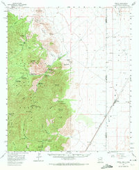
Editions of this 1958 Portal Map
4 editions found
Other maps of this area

1917 · San Simon
USGS Topo · 1:125,000

1917 · Chiricahua
USGS Topo · 1:125,000

1918 · Animas Peak
USGS Topo · 1:62,500

1918 · Pratt
USGS Topo · 1:62,500

1919 · Pratt
USGS Topo · 1:62,500

1919 · Chiricahua
USGS Topo · 1:125,000

1920 · Animas Peak
USGS Topo · 1:62,500

1926 · Cochise Head
USGS Topo · 1:62,500

1926 · Rodeo
USGS Topo · 1:62,500

1926 · Rucker
USGS Topo · 1:62,500