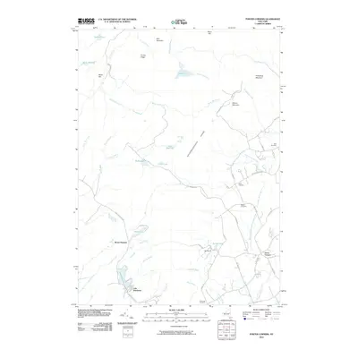
2010 Map of Porter Corners
USGS Topo · Published 2010About this map
Porter Corners and the surrounding Adirondack foothills are defined by the prominent Kayaderosseras Range and a dense network of mountain streams. This 2010 survey illustrates a landscape where small settlements like Lake Desolation and Sky Ranch are connected by winding mountain roads such as Lake Desolation Rd and Plank Rd. The area is geographically diverse, featuring high points like Spruce Mountain and Hedgehog Mountain, alongside low-lying wetlands such as John West Vly and Archer Vly.
Find a feature on this map
61 named features on this map. Tap any name to fly to it.
Don’t see what you’re looking for? This feature index may not catch every label — zoom into the map to look around manually.
Map Details
Editions of this 2010 Porter Corners Map
This is the sole edition of this map. No revisions or reprints were ever made.
Other maps of this area

1899 · Broadalbin
USGS Topo · 1:62,500

1902 · Broadalbin
USGS Topo · 1:62,500

1902 · Saratoga
USGS Topo · 1:62,500

1903 · Luzerne
USGS Topo · 1:62,500

1910 · Stony Creek
USGS Topo · 1:62,500

1934 · Saratoga Springs
USGS Topo · 1:24,000

1935 · Middle Grove
USGS Topo · 1:24,000

1935 · Corinth
USGS Topo · 1:24,000

1942 · Saratoga
USGS Topo · 1:62,500

1945 · Edinburg
USGS Topo · 1:24,000