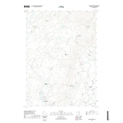
2019 Map of Porter Corners
USGS Topo · Published 2019About this map
Mount Pleasant and the Kayaderosseras Range dominate this part of Saratoga County, where high ridges separate numerous wetlands and small valley drainages. The landscape is defined by its complex hydrography, featuring unique landforms like Burnt Mill Vly, Miner Mill Vly, and Macomber Vly. These "vlies" or valley wetlands suggest a long history of water management and natural drainage patterns through the upland terrain.
Find a feature on this map
85 named features on this map. Tap any name to fly to it.
Don’t see what you’re looking for? This feature index may not catch every label — zoom into the map to look around manually.
Map Details
Editions of this 2019 Porter Corners Map
This is the sole edition of this map. No revisions or reprints were ever made.
Other maps of this area

1899 · Broadalbin
USGS Topo · 1:62,500

1902 · Broadalbin
USGS Topo · 1:62,500

1902 · Saratoga
USGS Topo · 1:62,500

1903 · Luzerne
USGS Topo · 1:62,500

1910 · Stony Creek
USGS Topo · 1:62,500

1934 · Saratoga Springs
USGS Topo · 1:24,000

1935 · Middle Grove
USGS Topo · 1:24,000

1935 · Corinth
USGS Topo · 1:24,000

1942 · Saratoga
USGS Topo · 1:62,500

1945 · Edinburg
USGS Topo · 1:24,000