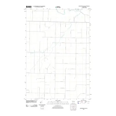
2010 Map of Porterfield SW
USGS Topo · Published 2010About this map
The Little Peshtigo River meanders across this rural Marinette County landscape, joined by its tributary Bundy Creek and the larger Peshtigo River in the north. The area is defined by a rigorous section-line road grid, including Town Hall Rd, Tower Hill RD, and numerous numbered routes like N 11th Road A and S 7th Rd. This network indicates a long-standing agricultural and timber-based economy, where land was methodically partitioned and developed.
Find a feature on this map
49 named features on this map. Tap any name to fly to it.
Don’t see what you’re looking for? This feature index may not catch every label — zoom into the map to look around manually.
Map Details
Editions of this 2010 Porterfield SW Map
This is the sole edition of this map. No revisions or reprints were ever made.
Other maps of this area

1939 · Porterfield
USGS Topo · 1:48,000

1941 · Coleman
USGS Topo · 1:48,000

1942 · Coleman
USGS Topo · 1:48,000

1942 · Porterfield
USGS Topo · 1:48,000

1950 · Coleman
USGS Topo · 1:48,000

1954 · Iron Mountain
USGS Topo · 1:250,000

1954 · Escanaba
USGS Topo · 1:250,000

1954 · Manitowoc
USGS Topo · 1:250,000

1955 · Green Bay
USGS Topo · 1:250,000

1956 · Oconto
USGS Topo · 1:62,500