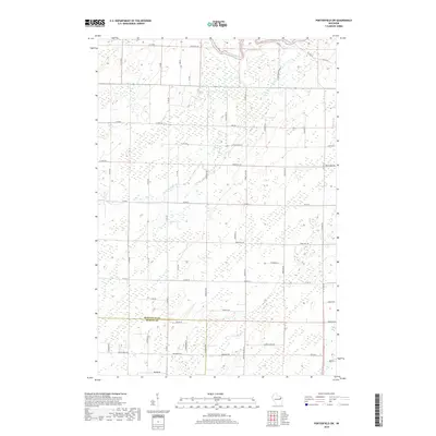
2018 Map of Porterfield SW
USGS Topo · Published 2018About this map
The Peshtigo River and Little Peshtigo River define the drainage patterns of this rural landscape where Marinette and Oconto counties meet. The terrain is characterized by a dense grid of local roads and sections, reflecting the organized agricultural and timber-driven settlement of northern Wisconsin. Several family-named and descriptive routes, such as Leslie Rd, Augustine Rd, and Red School Rd, indicate the historical placement of homesteads and former community landmarks.
Find a feature on this map
61 named features on this map. Tap any name to fly to it.
Don’t see what you’re looking for? This feature index may not catch every label — zoom into the map to look around manually.
Map Details
Editions of this 2018 Porterfield SW Map
This is the sole edition of this map. No revisions or reprints were ever made.
Other maps of this area

1939 · Porterfield
USGS Topo · 1:48,000

1941 · Coleman
USGS Topo · 1:48,000

1942 · Coleman
USGS Topo · 1:48,000

1942 · Porterfield
USGS Topo · 1:48,000

1950 · Coleman
USGS Topo · 1:48,000

1954 · Iron Mountain
USGS Topo · 1:250,000

1954 · Escanaba
USGS Topo · 1:250,000

1954 · Manitowoc
USGS Topo · 1:250,000

1955 · Green Bay
USGS Topo · 1:250,000

1956 · Oconto
USGS Topo · 1:62,500