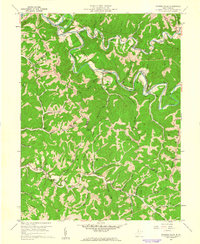
1960 Map of Porters Falls
USGS Topo · Published 1962About this map
Fishing Creek carves a winding path through this corner of Wetzel and Tyler counties, dictating the course of the Baltimore and Ohio railroad line and the location of rural hamlets like Minnie and Veto. The terrain is characterized by steep divides such as Chiselfinger Ridge and Hills Ridge, where isolated churches and cemeteries served scattered farming families. This 1960 field check reveals an area transitioning toward modern energy extraction, as evidenced by the numerous Gas Wells appearing alongside traditional landmarks like Wesley Chapel and School No 3. In the southern reaches, small communities like Lonetree and Conaway are connected by improved roads that follow the drainage of Fluharty Fork and Middle Fork. The proximity of the 4H Camp and Radio Tower near the northern border suggests a landscape supporting both recreation and infrastructure as the mid-century progressed.
Find a feature on this map
74 named features on this map. Tap any name to fly to it.
Don’t see what you’re looking for? This feature index may not catch every label — zoom into the map to look around manually.
Map Details
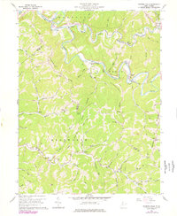
Editions of this 1960 Porters Falls Map
2 editions found
Other maps of this area

1903 · Littleton
USGS Topo · 1:62,500

1905 · Centerpoint
USGS Topo · 1:62,500

1905 · West Union
USGS Topo · 1:62,500

1905 · Littleton
USGS Topo · 1:62,500

1906 · New Martinsville
USGS Topo · 1:62,500

1924 · New Martinsville
USGS Topo · 1:62,500

1924 · Centerpoint
USGS Topo · 1:62,500

1924 · Littleton
USGS Topo · 1:62,500

1924 · West Union
USGS Topo · 1:62,500

1925 · Centerpoint
USGS Topo · 1:62,500