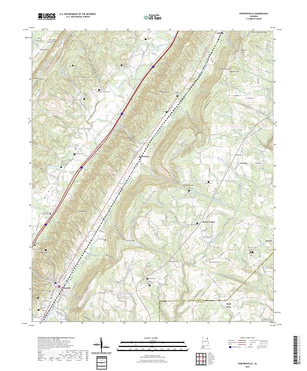
2024 Map of Portersville
USGS Topo · Published 2024About this map
Big Wills Valley and the Little Wills Valley serve as the primary corridors for settlement and transport through this section of Northeast Alabama. The terrain is dramatically shaped by the parallel formations of Lookout Mountain and Sand Mountain, creating a landscape of linear ridges and sheltered coves such as Lackey Cove and Lykes Cove. The town of Collinsville stands as the principal community at the southern end of the sheet, while the namesake Portersville sits at a strategic gap between the ridges. For genealogists, the map is remarkably dense with family-named landmarks and burial grounds, including the Anthony Collins Cem, Kilian Cem, and the Warren Stewart Cem. The presence of numerous small cemeteries alongside older roadbeds suggests a long history of family homesteads established in the valleys between Shinbone Ridge and Big Ridge.
Find a feature on this map
98 named features on this map. Tap any name to fly to it.
Don’t see what you’re looking for? This feature index may not catch every label — zoom into the map to look around manually.
Map Details
Editions of this 2024 Portersville Map
This is the sole edition of this map. No revisions or reprints were ever made.
Other maps of this area

1893 · Fort Payne
USGS Topo · 1:125,000

1898 · Fort Payne
USGS Topo · 1:125,000

1900 · Fort Payne
USGS Topo · 1:125,000

1936 · Crossville
USGS Topo · 1:24,000

1936 · Roden Gap
USGS Topo · 1:24,000

1936 · Chavies
USGS Topo · 1:24,000
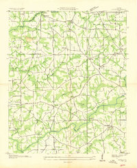
1936 · Fyffe
USGS Topo · 1:24,000

1946 · Portersville
USGS Topo · 1:24,000

1946 · Ft Payne
USGS Topo · 1:24,000
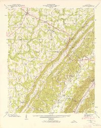
1946 · Chavies
USGS Topo · 1:24,000