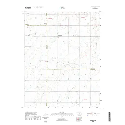
2018 Map of Porterville
USGS Topo · Published 2018About this map
The unincorporated community of Porterville serves as the central point of this southeastern Kansas landscape, where the borders of Bourbon, Allen, Neosho, and Crawford counties converge. The terrain is defined by a dense network of drainage systems, including the winding paths of Flat Rock Cr and Little Walnut Cr, which dictate the rural road grid. The map reveals a high concentration of local history markers for genealogists, particularly in the placement of scattered burial grounds such as Harmony Cem, Rosedale Cem, and Walnut Cem. These sites, along with the McVay Cattle Co Rd, reflect a long-standing agricultural economy built around the prairie creeks and township lines. The survey provides a clear view of the section-line road system that has organized this farming region for generations.
Find a feature on this map
53 named features on this map. Tap any name to fly to it.
Don’t see what you’re looking for? This feature index may not catch every label — zoom into the map to look around manually.
Map Details
Editions of this 2018 Porterville Map
This is the sole edition of this map. No revisions or reprints were ever made.
Other maps of this area

1884 · Fort Scott
USGS Topo · 1:125,000

1886 · Iola
USGS Topo · 1:125,000

1886 · Fort Scott
USGS Topo · 1:125,000

1893 · Fort Scott
USGS Topo · 1:125,000

1893 · Iola
USGS Topo · 1:125,000

1904 · Iola
USGS Topo · 1:125,000

1947 · Joplin
USGS Topo · 1:250,000

1948 · Erie
USGS Topo · 1:62,500

1948 · Girard
USGS Topo · 1:62,500

1949 · Erie
USGS Topo · 1:62,500