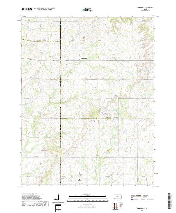
2022 Map of Porterville
USGS Topo · Published 2022About this map
Porterville sits at the heart of this rural landscape where the borders of Bourbon, Neosho, Allen, and Crawford counties converge. The terrain is defined by a dense network of small waterways, most notably Little Walnut Cr and Flat Rock Cr, which carve through the prairie lands of Southeast Kansas. This area retains a strictly agricultural character, with a grid of country roads such as Cavalry Rd and Arrowhead Rd connecting isolated homesteads and local landmarks. For genealogists, the map preserves the exact locations of several local burial grounds, including Harmony Cem to the north and Rosedale Cem and Walnut Cem further south. The drainage patterns of smaller tributaries like Wolfpen Cr and Pony Cr offer a clear picture of the land's natural contours and the challenges faced by early settlers in this four-county corner.
Find a feature on this map
43 named features on this map. Tap any name to fly to it.
Don’t see what you’re looking for? This feature index may not catch every label — zoom into the map to look around manually.
Map Details
Editions of this 2022 Porterville Map
This is the sole edition of this map. No revisions or reprints were ever made.
Other maps of this area

1884 · Fort Scott
USGS Topo · 1:125,000

1886 · Iola
USGS Topo · 1:125,000

1886 · Fort Scott
USGS Topo · 1:125,000

1893 · Fort Scott
USGS Topo · 1:125,000

1893 · Iola
USGS Topo · 1:125,000

1904 · Iola
USGS Topo · 1:125,000

1947 · Joplin
USGS Topo · 1:250,000

1948 · Erie
USGS Topo · 1:62,500

1948 · Girard
USGS Topo · 1:62,500

1949 · Erie
USGS Topo · 1:62,500