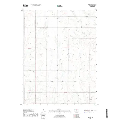
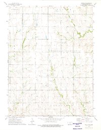
2018 Map of Portis NW
USGS Topo · Published 2018About this map
The rolling agricultural uplands of Smith County are defined by a network of drainage creeks and isolated burial grounds that trace the early settlement patterns of North Central Kansas. Waterways like W Br Twelvemile Cr and its counterpart E Br Twelvemile Cr carve the landscape, while smaller tributaries such as Monkey Run and Lindley Cr feed into the regional watershed. This landscape is marked by the presence of family and community history preserved in sites like Crystal Plains Cem and Twelvemile Cem, which remain as fixed points amidst the shifting agricultural sections. A rigid grid of rural corridors, including Co RD 1060 and 270 RD, dictates the modern movement across this prairie terrain, connecting the scattered landmarks of Bell Cem and Custer Cem that anchor the local genealogy of the surrounding townships.
Find a feature on this map
25 named features on this map. Tap any name to fly to it.
Don’t see what you’re looking for? This feature index may not catch every label — zoom into the map to look around manually.
Map Details
Editions of this 2018 Portis NW Map
This is the sole edition of this map. No revisions or reprints were ever made.
Other maps of this area

1893 · Smith Center
USGS Topo · 1:125,000

1955 · Beloit
USGS Topo · 1:250,000

1959 · Beloit
USGS Topo · 1:250,000

1960 · Downs North
USGS Topo · 1:24,000

1961 · Portis
USGS Topo · 1:24,000

1961 · Harlan
USGS Topo · 1:24,000
1973 · Portis NE
USGS Topo · 1:24,000
1973 · Smith Center
USGS Topo · 1:24,000
1973 · Lebanon
USGS Topo · 1:24,000
1973 · Portis NW
USGS Topo · 1:24,000