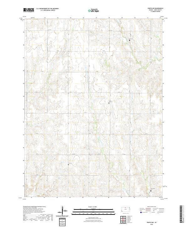
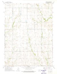
2022 Map of Portis NW
USGS Topo · Published 2022About this map
The agrarian landscape of Smith County is defined by a rhythmic pattern of section-line roads and the branching drainage of several prairie creeks. Small, localized landmarks provide critical grounding for genealogists, particularly the isolated burial grounds that punctuate the plains. Twelvemile Cem sits in the southeast corner near the headwaters of the E Br Twelvemile Cr, while Crystal Plains Cem and Bell Cem serve the central and southern reaches of the township. These cemeteries, alongside Custer Cem in the north, represent the enduring focal points of the local community. The terrain is shaped by the subtle erosion of W Oak Cr and Monkey Run, which cut through the high ground. A network of rural routes, including Co RD 1060 and 250 RD, maintains the geometric grid typical of Kansas farm country.
Find a feature on this map
25 named features on this map. Tap any name to fly to it.
Don’t see what you’re looking for? This feature index may not catch every label — zoom into the map to look around manually.
Map Details
Editions of this 2022 Portis NW Map
This is the sole edition of this map. No revisions or reprints were ever made.
Other maps of this area

1893 · Smith Center
USGS Topo · 1:125,000

1955 · Beloit
USGS Topo · 1:250,000

1959 · Beloit
USGS Topo · 1:250,000

1960 · Downs North
USGS Topo · 1:24,000

1961 · Portis
USGS Topo · 1:24,000

1961 · Harlan
USGS Topo · 1:24,000
1973 · Portis NE
USGS Topo · 1:24,000
1973 · Smith Center
USGS Topo · 1:24,000
1973 · Lebanon
USGS Topo · 1:24,000
1973 · Portis NW
USGS Topo · 1:24,000