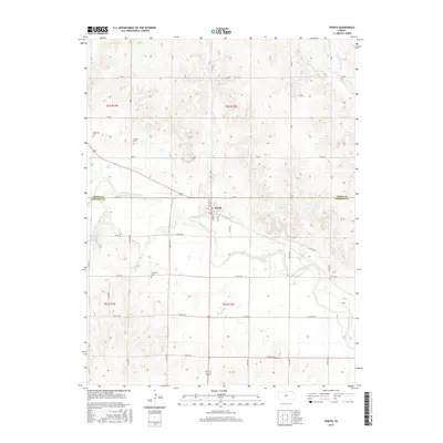
2015 Map of Portis
USGS Topo · Published 2015About this map
Portis sits near the confluence of Lindley Cr and the North Fork Solomon River, serving as a central hub for the surrounding agricultural lands of both Osborne and Smith counties. This mid-2010s survey illustrates a rural landscape structured by a precise grid of section-line roads, such as 310 RD and S 120th Ave, which define the local topography. The map is particularly valuable for genealogical research, as it identifies several burial sites scattered throughout the townships, including Hammond Cem to the northwest, Garrett Cem near the river bend, and Fairview Cem further south. The drainage patterns of Twelvemile Cr and its branches in the northeast corner highlight the subtle elevation changes that characterize this portion of the Solomon Valley.
Find a feature on this map
41 named features on this map. Tap any name to fly to it.
Don’t see what you’re looking for? This feature index may not catch every label — zoom into the map to look around manually.
Map Details
Editions of this 2015 Portis Map
This is the sole edition of this map. No revisions or reprints were ever made.
Other maps of this area

1893 · Smith Center
USGS Topo · 1:125,000

1896 · Osborne
USGS Topo · 1:125,000

1953 · Downs South
USGS Topo · 1:24,000

1953 · Bloomington
USGS Topo · 1:24,000

1953 · Osborne
USGS Topo · 1:24,000

1955 · Beloit
USGS Topo · 1:250,000

1959 · Beloit
USGS Topo · 1:250,000

1960 · Downs North
USGS Topo · 1:24,000

1961 · Portis
USGS Topo · 1:24,000

1961 · Harlan
USGS Topo · 1:24,000