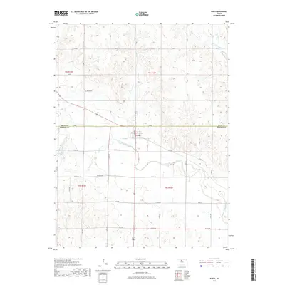
2018 Map of Portis
USGS Topo · Published 2018About this map
Portis serves as the central hub of this agricultural landscape straddling the border of Smith and Osborne counties. The North Fork Solomon River meanders across the southern portion of the quadrangle, joined by several tributaries including Lindley Cr and Joy Cr. The land is divided by a systematic grid of section roads, such as 310 RD and Co RD 362, which connect the rural farmsteads and cemeteries that define the local genealogy. For family historians, the placement of Hammond Cem and Garrett Cem north of the town, along with Fairview Cem to the south, provides precise locations for ancestral research in this portion of Kansas. The topography is defined by the drainage basins of Twelvemile Cr and its branches, illustrating the natural water sources that have sustained these prairie communities since their founding.
Find a feature on this map
27 named features on this map. Tap any name to fly to it.
Don’t see what you’re looking for? This feature index may not catch every label — zoom into the map to look around manually.
Map Details
Editions of this 2018 Portis Map
This is the sole edition of this map. No revisions or reprints were ever made.
Other maps of this area

1893 · Smith Center
USGS Topo · 1:125,000

1896 · Osborne
USGS Topo · 1:125,000

1953 · Downs South
USGS Topo · 1:24,000

1953 · Bloomington
USGS Topo · 1:24,000

1953 · Osborne
USGS Topo · 1:24,000

1955 · Beloit
USGS Topo · 1:250,000

1959 · Beloit
USGS Topo · 1:250,000

1960 · Downs North
USGS Topo · 1:24,000

1961 · Portis
USGS Topo · 1:24,000

1961 · Harlan
USGS Topo · 1:24,000