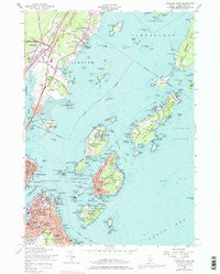
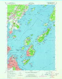
1956 Map of Portland East
USGS Topo · Published 1977About this map
Casco Bay defines this mid-century coastal landscape, serving as a critical harbor defended by a network of historic coastal fortifications. Military installations such as Fort Mc Kinley on Great Diamond Island, Fort Gorges, and Fort Williams highlight the area's strategic importance. The map captures the maritime character of the era, from the Casco Bay and Peaks Island Ferry routes to the scattered communities on Peaks Island, Long Island, and Cushing Island. On the mainland, the Grand Trunk Canadian National Railway and Maine Central Railroad facilitate the transport of goods near the Fore River. Residential and institutional growth is evident in Falmouth Foreside and South Portland, where local landmarks like the Maine School for the Deaf on Mackworth Island and the Portland Country Club are established. This 1956 revision reflects a time when coastal defense, industrial rail, and growing island communities coexisted along the Portland waterfront.
Find a feature on this map
191 named features on this map. Tap any name to fly to it.
Don’t see what you’re looking for? This feature index may not catch every label — zoom into the map to look around manually.
Map Details
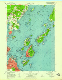
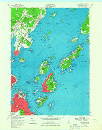
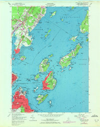
Editions of this 1956 Portland East Map
5 editions found
Other maps of this area

1891 · Portland
USGS Topo · 1:62,500

1892 · Freeport
USGS Topo · 1:62,500

1893 · Portland
USGS Topo · 1:62,500

1893 · Casco Bay
USGS Topo · 1:62,500

1894 · Gray
USGS Topo · 1:62,500

1898 · Gray
USGS Topo · 1:62,500

1914 · Portland
USGS Topo · 1:48,000

1914 · Casco Bay
USGS Topo · 1:48,000

1916 · Portland
USGS Topo · 1:62,500

1916 · Casco Bay
USGS Topo · 1:62,500