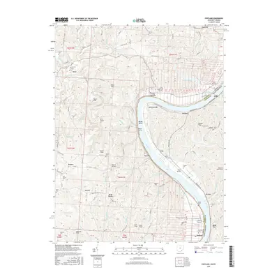
2016 Map of Portland
USGS Topo · Published 2016About this map
The Ohio River carves a sweeping path between Meigs County, Ohio, and Jackson County, West Virginia, defining the central character of this 2016 landscape. Along its banks, small riverbank communities like Portland, Murraysville, and Long Bottom reflect the enduring relationship between the valley floor and the water. The terrain shifts from the broad alluvial flats of Muses Bottom and Sterling Bottom to the deeply dissected ridges and hollows of the interior, including Bigley Ridge and Wildcat Hollow.
Find a feature on this map
91 named features on this map. Tap any name to fly to it.
Don’t see what you’re looking for? This feature index may not catch every label — zoom into the map to look around manually.
Map Details
Editions of this 2016 Portland Map
This is the sole edition of this map. No revisions or reprints were ever made.
Other maps of this area

1906 · Belleville
USGS Topo · 1:62,500

1907 · Keno
USGS Topo · 1:62,500

1907 · Ripley
USGS Topo · 1:62,500

1908 · Ravenswood
USGS Topo · 1:62,500

1924 · Belleville
USGS Topo · 1:62,500

1926 · Ravenswood
USGS Topo · 1:62,500

1926 · Belleville
USGS Topo · 1:62,500

1926 · Ripley
USGS Topo · 1:62,500

1928 · Ravenswood
USGS Topo · 1:62,500

1928 · Ripley
USGS Topo · 1:62,500