Loading...
Loading map...2023 Map of Portland
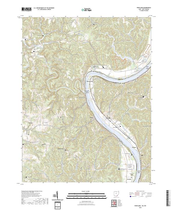
USGS Topo · Published 2023About this map
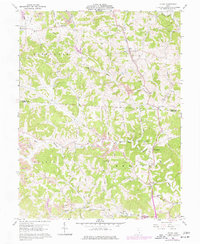
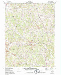
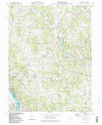
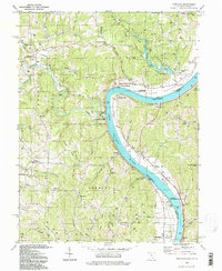
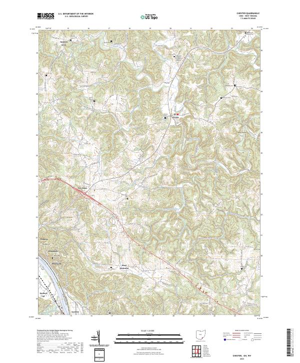
The Ohio River forms a sweeping oxbow as it defines the border between Meigs County, Ohio, and Jackson County, West Virginia. This riverine landscape is marked by small riverside settlements such as Portland, Murraysville, and Long Bottom, where the flat terrain of the river valley meets the dissected uplands. Away from the river, the topography rises sharply into a series of prominent ridges, including Bigley Ridge, Rainbow Ridge, and Milhoan Ridge.
Find a feature on this map
171 named features on this map. Tap any name to fly to it.
Don’t see what you’re looking for? This feature index may not catch every label — zoom into the map to look around manually.
Map Details
Date Portrayed2023
Date Published2023
PublisherU.S. Geological Survey
Map TypeTopographic
Scale1:24000
Physical Dimensions24 x 29 inches
Editions of this 2023 Portland Map
This is the sole edition of this map. No revisions or reprints were ever made.
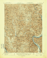
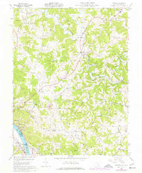
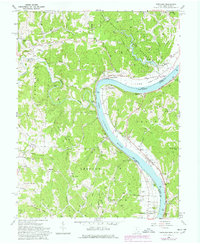
Historical Maps of Neptune Through Time
10 maps found
Featured Locations
Source Details
SourceU.S. Geological Survey
CopyrightPublic Domain