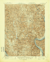
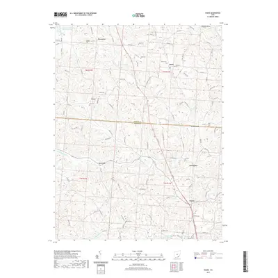
1907 Map of Keno
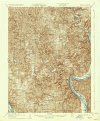
USGS Topo · Published 1945About this map
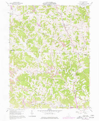
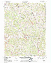
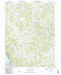
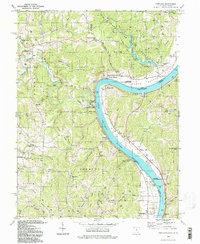
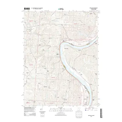
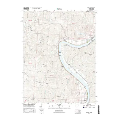
Hocking River and the Ohio River converge in this riverine landscape along the border of Ohio and West Virginia, as documented during a 1904-1905 survey. The topography is defined by sharp ridges like Dutch Ridge and Brimstone Ridge, which steered the placement of upland settlements such as Tuppers Plains and Alfred. A network of small rural institutions served the scattered farming population, including Bearwallow Church, Newhope Church, and Bigley School.
Find a feature on this map
103 named features on this map. Tap any name to fly to it.
Don’t see what you’re looking for? This feature index may not catch every label — zoom into the map to look around manually.
Map Details
Editions of this 1907 Keno Map
3 editions found

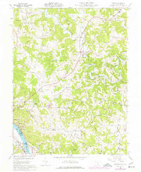
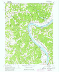
Historical Maps of Chester Through Time
22 maps found
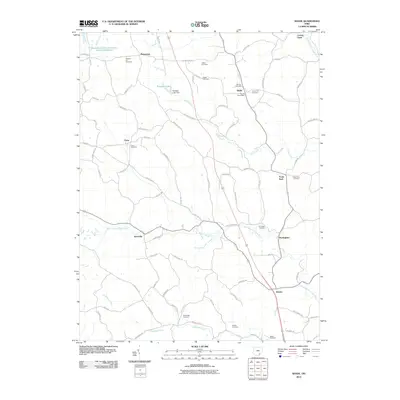
1907 Keno
Meigs County, OH
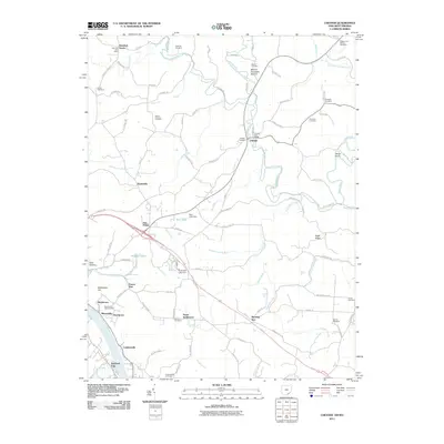
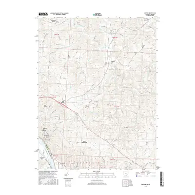
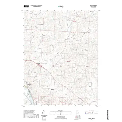
1960 Chester
Meigs County, OH
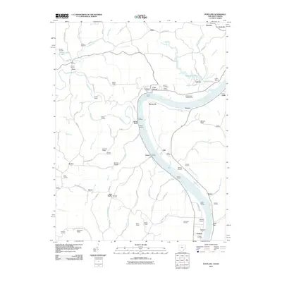
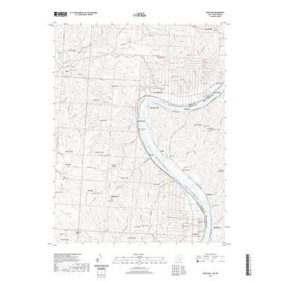
1960 Portland
Meigs County, OH
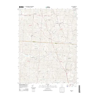
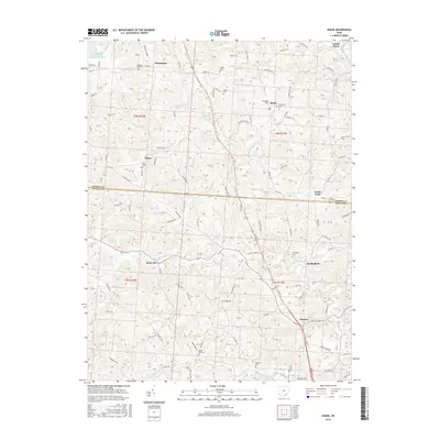
1960 Shade
Meigs County, OH
1992 Shade
Meigs County, OH
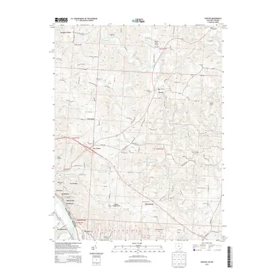
1994 Chester
Meigs County, OH
1994 Portland
Meigs County, OH
2010 Portland
Meigs County, OH
2010 Shade
Meigs County, OH
2011 Chester
Meigs County, OH
2013 Chester
Meigs County, OH
2013 Portland
Meigs County, OH
2013 Shade
Meigs County, OH
2016 Chester
Meigs County, OH
2016 Portland
Meigs County, OH
2016 Shade
Meigs County, OH
2019 Chester
Meigs County, OH
2019 Portland
Meigs County, OH
2019 Shade
Meigs County, OH
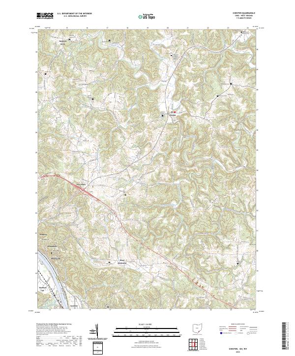
2023 Chester
Meigs County, OH
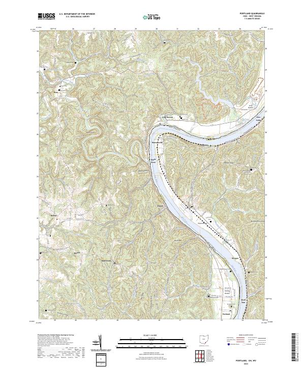
2023 Portland
Meigs County, OH
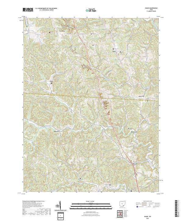
2023 Shade
Meigs County, OH