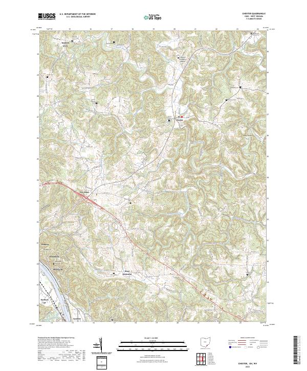
2023 Map of Chester
USGS Topo · Published 2023About this map
The Ohio River curves along the southern boundary of this Meigs County region, anchoring a series of riverfront settlements that include Hartford City, Syracuse, and Minersville. These towns, along with nearby Welshtown and Pomeroy, highlight a historically industrial corridor where river transport and local resources once drove the economy. Moving inland, the landscape is defined by the winding paths of the Shade River and its branches, including the Middle Branch Shade River and West Branch Shade River.
Find a feature on this map
135 named features on this map. Tap any name to fly to it.
Don’t see what you’re looking for? This feature index may not catch every label — zoom into the map to look around manually.
Map Details
Editions of this 2023 Chester Map
This is the sole edition of this map. No revisions or reprints were ever made.
Other maps of this area

1907 · Pomeroy
USGS Topo · 1:62,500

1907 · Keno
USGS Topo · 1:62,500

1908 · Ravenswood
USGS Topo · 1:62,500

1908 · Point Pleasant
USGS Topo · 1:62,500

1926 · Ravenswood
USGS Topo · 1:62,500

1926 · Point Pleasant
USGS Topo · 1:62,500

1928 · Ravenswood
USGS Topo · 1:62,500

1929 · Point Pleasant
USGS Topo · 1:62,500

1947 · Columbus
USGS Topo · 1:250,000

1949 · Clarksburg
USGS Topo · 1:250,000