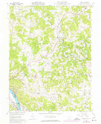
1960 Map of Chester
USGS Topo · Published 1977About this map
Ohio River bottomlands and the rugged terrain of Meigs County define this landscape as it appeared during the mid-twentieth century. The river serves as a bustling corridor for commerce and industry, notably near settlements like Minersville, Syracuse, and Hartford. Across the water in West Virginia, the village of Waggener sits along the banks, while the B & O RR tracks follow the river's curve on the Ohio side.
Find a feature on this map
79 named features on this map. Tap any name to fly to it.
Don’t see what you’re looking for? This feature index may not catch every label — zoom into the map to look around manually.
Map Details
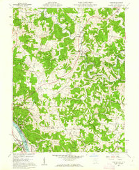
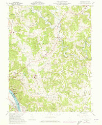
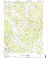
Editions of this 1960 Chester Map
4 editions found
Other maps of this area

1907 · Pomeroy
USGS Topo · 1:62,500

1907 · Keno
USGS Topo · 1:62,500

1908 · Ravenswood
USGS Topo · 1:62,500

1908 · Point Pleasant
USGS Topo · 1:62,500

1926 · Ravenswood
USGS Topo · 1:62,500

1926 · Point Pleasant
USGS Topo · 1:62,500

1928 · Ravenswood
USGS Topo · 1:62,500

1929 · Point Pleasant
USGS Topo · 1:62,500

1947 · Columbus
USGS Topo · 1:250,000

1949 · Clarksburg
USGS Topo · 1:250,000