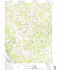
1960 Map of Chester
USGS Topo · Published 1977About this map
The Ohio River defines the southern edge of this landscape, where the B & O RR and river traffic supported industrial and residential growth in Syracuse, Minersville, and Hartford. This 1960 field-checked survey reveals a complex network of interior settlements like Chester and the Nease Settlement, connected by rural routes such as Skyline Drive and Hemlock Grove Road. The terrain is deeply dissected by the various branches of the Shade River, including the West Branch Shade River and Middle Branch Shade River.
Find a feature on this map
79 named features on this map. Tap any name to fly to it.
Don’t see what you’re looking for? This feature index may not catch every label — zoom into the map to look around manually.
Map Details
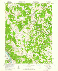
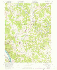
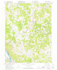
Editions of this 1960 Chester Map
4 editions found
Other maps of this area

1907 · Pomeroy
USGS Topo · 1:62,500

1907 · Keno
USGS Topo · 1:62,500

1908 · Ravenswood
USGS Topo · 1:62,500

1908 · Point Pleasant
USGS Topo · 1:62,500

1926 · Ravenswood
USGS Topo · 1:62,500

1926 · Point Pleasant
USGS Topo · 1:62,500

1928 · Ravenswood
USGS Topo · 1:62,500

1929 · Point Pleasant
USGS Topo · 1:62,500

1947 · Columbus
USGS Topo · 1:250,000

1949 · Clarksburg
USGS Topo · 1:250,000