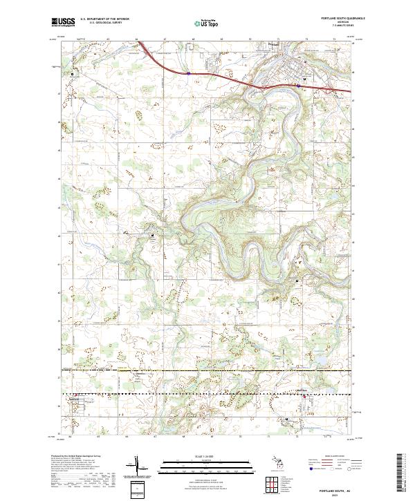
2023 Map of Portland South
USGS Topo · Published 2023About this map
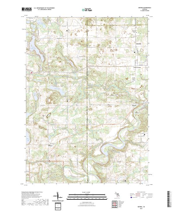
The Grand River snakes through the northern half of this landscape, defining the character of Portland where it meets the Middle Grand River Water Trl. This modern survey documents the area's transition from the river-centered hub of Portland to the agricultural plains of southern Ionia Co and northern Eaton Co. The layout reveals a dense network of drainage systems, including Sebewa Creek and Stiffler Drain, which support the surrounding farmland.
Find a feature on this map
108 named features on this map. Tap any name to fly to it.
Don’t see what you’re looking for? This feature index may not catch every label — zoom into the map to look around manually.
Map Details
Editions of this 2023 Portland South Map
This is the sole edition of this map. No revisions or reprints were ever made.
Historical Maps of Orange Township Through Time
10 maps found
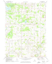
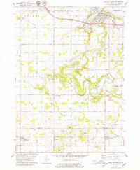
1972 Shiloh
Ionia County, MI
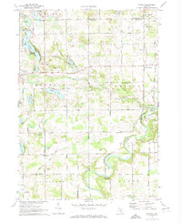
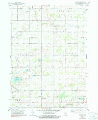
1972 Smyrna
Ionia County, MI
1978 Portland North
Ionia County, MI
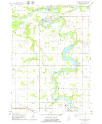
1978 Portland South
Ionia County, MI
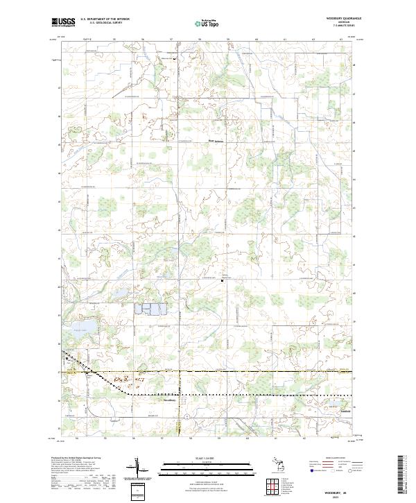
1978 Woodbury
Ionia County, MI
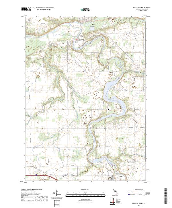
2023 Portland North
Ionia County, MI
2023 Portland South
Ionia County, MI
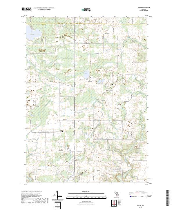
2023 Shiloh
Ionia County, MI
2023 Smyrna
Ionia County, MI
2023 Woodbury
Ionia County, MI
Featured Locations
- Danby Township, MI
- Portland, MI
- Roxand Township, MI
- Mulliken, Roxand Township
- Sunfield, Sunfield Township