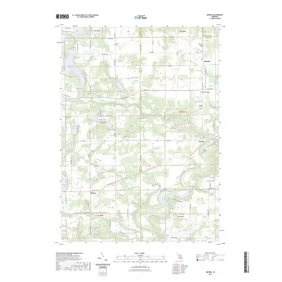
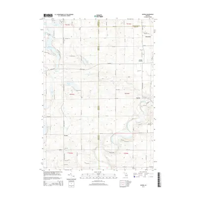
2023 Map of Smyrna
USGS Topo · Published 2023About this map
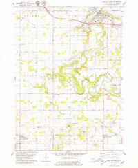
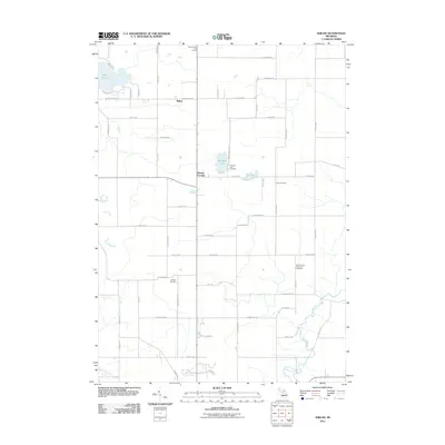
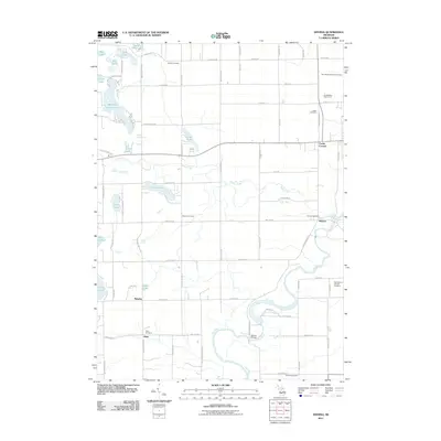
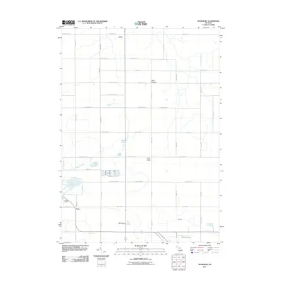
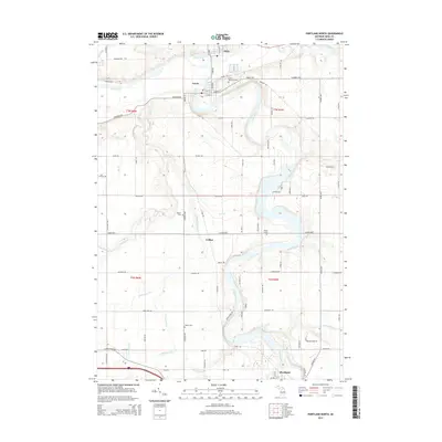
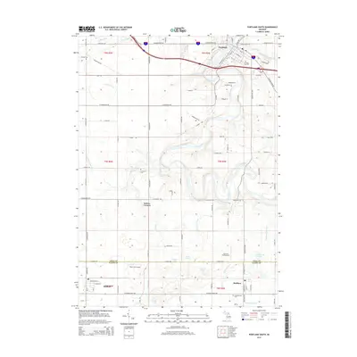
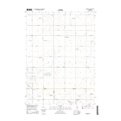
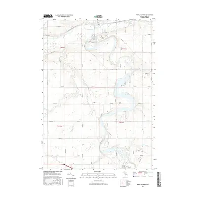
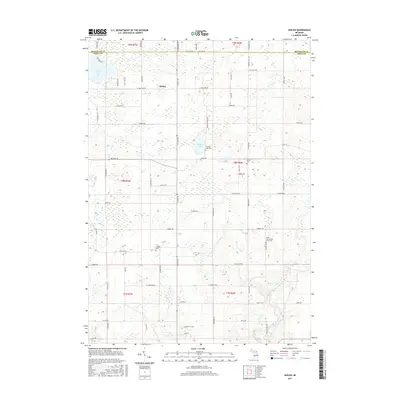
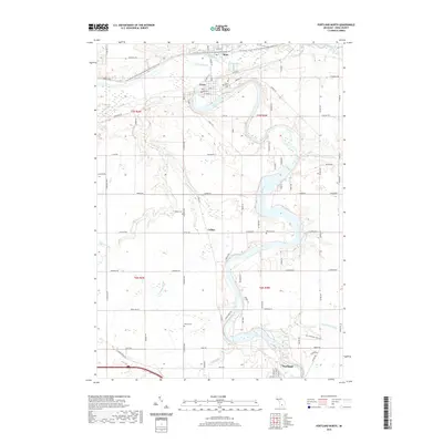
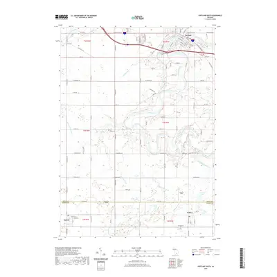
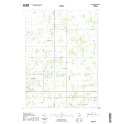
The Flat River winds through this landscape at the intersection of Kent, Ionia, and Montcalm counties, anchoring a region defined by its rural settlements and extensive trail networks. The community of Smyrna sits at a prominent bend in the river, while the larger center of Belding occupies the northeastern corner. This modern survey illustrates the repurposing of old corridors, most notably the Fred Meijer Flat River Valley Trail and the Flat River Trail, which now trace the paths of former rail or river transport routes. Numerous family and community burial grounds, including Ashley Cemetery and Mason Cemetery, are scattered across the townships, providing a clear spatial record for genealogical research. The terrain is marked by a high density of water bodies like Big Pine Island Lake and Slayton Lake, illustrating the glacial lake topography of central Michigan.
Find a feature on this map
72 named features on this map. Tap any name to fly to it.
Don’t see what you’re looking for? This feature index may not catch every label — zoom into the map to look around manually.
Map Details
Editions of this 2023 Smyrna Map
This is the sole edition of this map. No revisions or reprints were ever made.
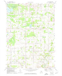
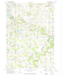
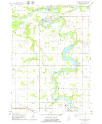
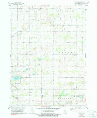
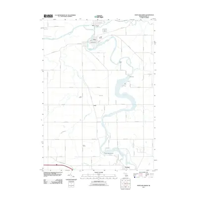
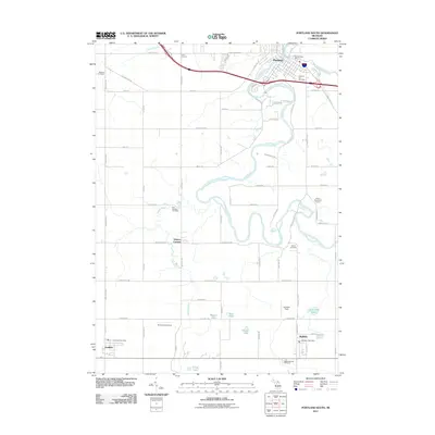
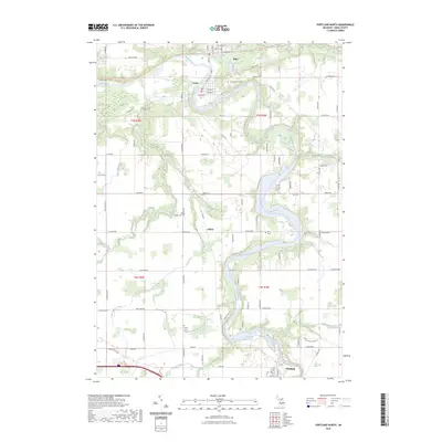
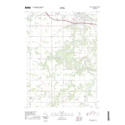
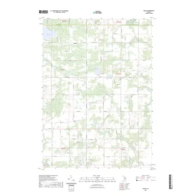
Historical Maps of Belding Through Time
30 maps found
1972 Shiloh
Ionia County, MI
1972 Smyrna
Ionia County, MI
1978 Portland North
Ionia County, MI
1978 Portland South
Ionia County, MI
1978 Woodbury
Ionia County, MI
2011 Portland North
Ionia County, MI
2011 Portland South
Ionia County, MI
2011 Shiloh
Ionia County, MI
2011 Smyrna
Ionia County, MI
2011 Woodbury
Ionia County, MI
2014 Portland North
Ionia County, MI
2014 Portland South
Ionia County, MI

2014 Shiloh
Ionia County, MI
2014 Smyrna
Ionia County, MI
2014 Woodbury
Ionia County, MI
2017 Portland North
Ionia County, MI
2017 Portland South
Ionia County, MI
2017 Shiloh
Ionia County, MI
2017 Smyrna
Ionia County, MI
2017 Woodbury
Ionia County, MI
2019 Portland North
Ionia County, MI
2019 Portland South
Ionia County, MI
2019 Shiloh
Ionia County, MI
2019 Smyrna
Ionia County, MI
2019 Woodbury
Ionia County, MI
2023 Portland North
Ionia County, MI
2023 Portland South
Ionia County, MI
2023 Shiloh
Ionia County, MI
2023 Smyrna
Ionia County, MI
2023 Woodbury
Ionia County, MI
Featured Locations
- Eureka Township, MI
- Vergennes Township, MI
- Keene Township, MI
- Belding, MI
- Cooks Corners, Otisco Township