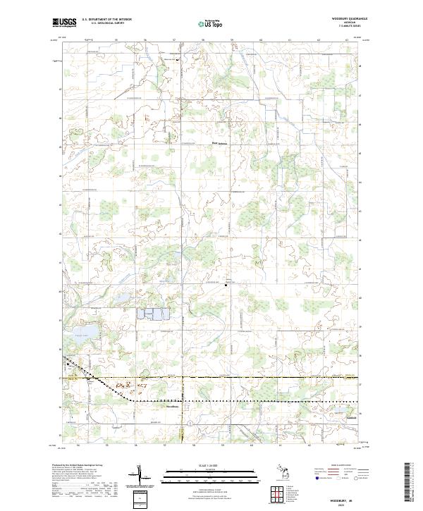
2023 Map of Woodbury
USGS Topo · Published 2023About this map
Woodbury and West Sebewa sit within a landscape defined by the intersection of Ionia, Barry, and Eaton counties. The terrain is a complex network of glacial hydrology, where water travels through Tupper Creek and Libhart Creek, and feeds several small water bodies including Augst Lake, Mud Lake, and the expansive Tupper Lake. This agrarian region is organized by a strict grid of local roads like W Bippley Rd and S State Rd, which connect long-standing rural community hubs.
Find a feature on this map
80 named features on this map. Tap any name to fly to it.
Don’t see what you’re looking for? This feature index may not catch every label — zoom into the map to look around manually.
Map Details
Editions of this 2023 Woodbury Map
This is the sole edition of this map. No revisions or reprints were ever made.
Other maps of this area

1916 · Ionia
USGS Topo · 1:62,500

1918 · Ionia
USGS Topo · 1:62,500

1943 · Ionia
USGS Topo · 1:62,500

1945 · Portland
USGS Topo · 1:62,500

1949 · Charlotte
USGS Topo · 1:62,500

1950 · Nashville
USGS Topo · 1:62,500

1951 · Nashville
USGS Topo · 1:62,500

1958 · Grand Rapids
USGS Topo · 1:250,000

1961 · Grand Rapids
USGS Topo · 1:250,000

1962 · Grand Rapids
USGS Topo · 1:250,000