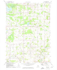
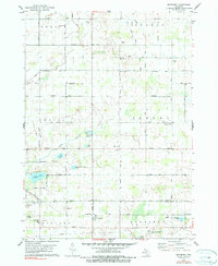
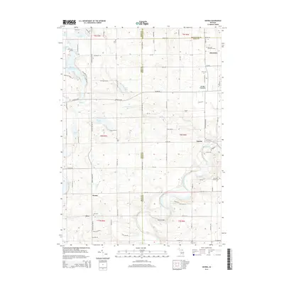
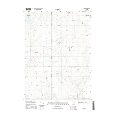
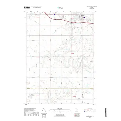
1972 Map of Shiloh
USGS Topo · Published 1974About this map
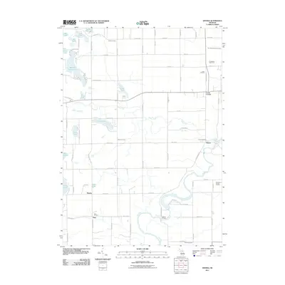
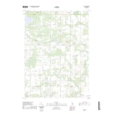
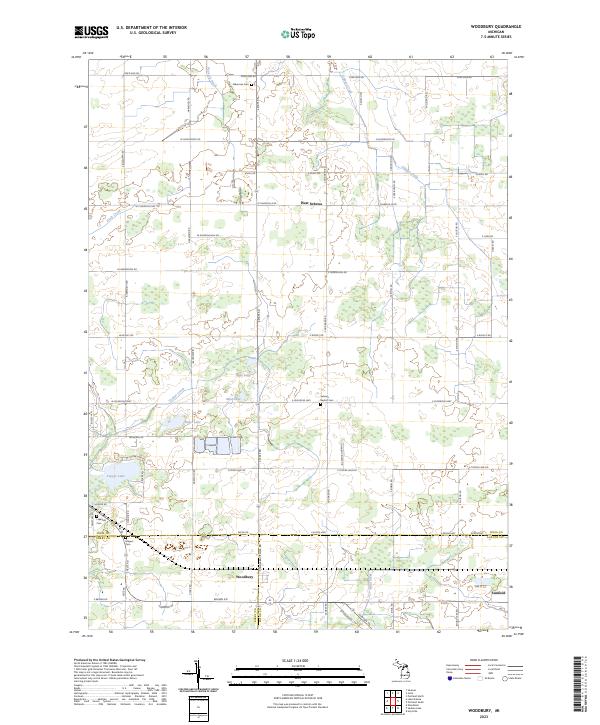
Shiloh and the surrounding townships of Orleans and Ronald appear in this 1970s survey as a landscape of agricultural roads and scattered rural infrastructure. The mapping identifies a network of country schools, including Boyce Sch and Haynor Sch, alongside burial grounds like Snows Cem and Higbee Cem. These landmarks serve as critical points of reference for genealogists tracking family ties in Ionia and Montcalm counties.
Find a feature on this map
41 named features on this map. Tap any name to fly to it.
Don’t see what you’re looking for? This feature index may not catch every label — zoom into the map to look around manually.
Map Details
Editions of this 1972 Shiloh Map
This is the sole edition of this map. No revisions or reprints were ever made.
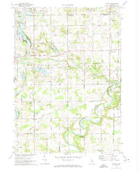
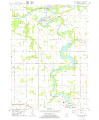
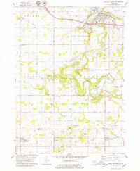
Historical Maps of Bushnell Township Through Time
30 maps found
1972 Shiloh
Ionia County, MI
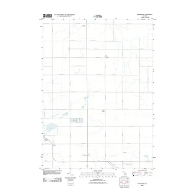
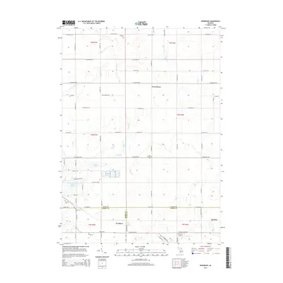
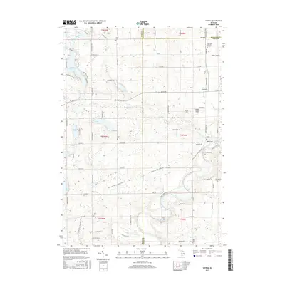
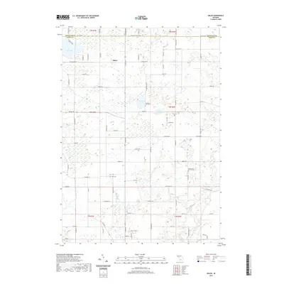
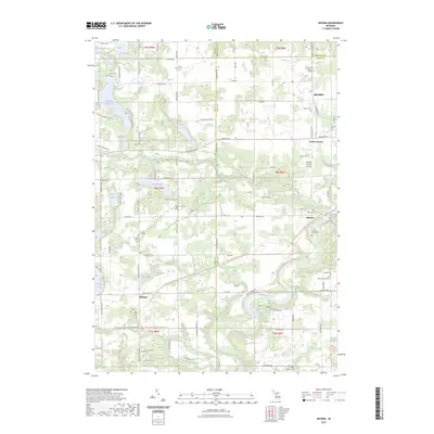
1972 Smyrna
Ionia County, MI
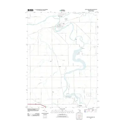
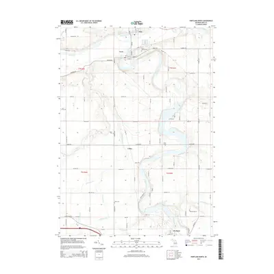
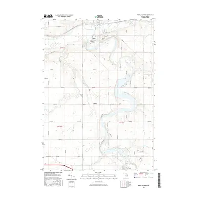
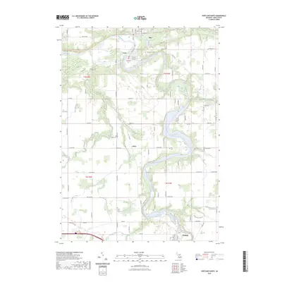
1978 Portland North
Ionia County, MI
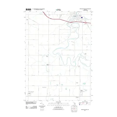
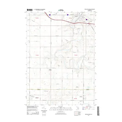
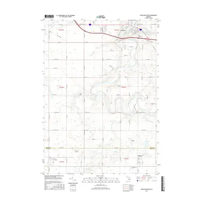
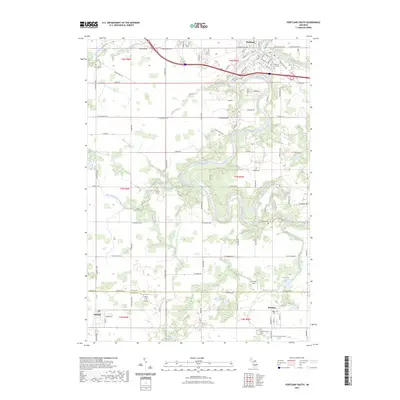
1978 Portland South
Ionia County, MI
1978 Woodbury
Ionia County, MI
2011 Portland North
Ionia County, MI
2011 Portland South
Ionia County, MI
2011 Shiloh
Ionia County, MI
2011 Smyrna
Ionia County, MI
2011 Woodbury
Ionia County, MI
2014 Portland North
Ionia County, MI
2014 Portland South
Ionia County, MI

2014 Shiloh
Ionia County, MI
2014 Smyrna
Ionia County, MI
2014 Woodbury
Ionia County, MI
2017 Portland North
Ionia County, MI
2017 Portland South
Ionia County, MI
2017 Shiloh
Ionia County, MI
2017 Smyrna
Ionia County, MI
2017 Woodbury
Ionia County, MI
2019 Portland North
Ionia County, MI
2019 Portland South
Ionia County, MI
2019 Shiloh
Ionia County, MI
2019 Smyrna
Ionia County, MI
2019 Woodbury
Ionia County, MI
2023 Portland North
Ionia County, MI
2023 Portland South
Ionia County, MI
2023 Shiloh
Ionia County, MI
2023 Smyrna
Ionia County, MI
2023 Woodbury
Ionia County, MI
Featured Locations
- Fairplain Township, MI
- Bushnell Township, MI
- Easton Township, MI
- Woods Corners, Ronald Township
- Shiloh, Orleans Township