
1965 Map of Portland
USGS Topo · Published 1966About this map
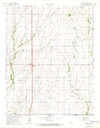
The Indian Treaty Boundary cuts horizontally across this landscape, marking a historical division just north of the Kansas-Oklahoma state line. In the mid-1960s, this portion of Sumner County is defined by a dense network of petroleum extraction, including the Portland Oil Field, Guelph Oil Field, and Bitter Creek Oil Field. These energy resources sit alongside a transport corridor where the Kansas Turnpike and the South Haven Interchange facilitate regional movement.
Find a feature on this map
22 named features on this map. Tap any name to fly to it.
Don’t see what you’re looking for? This feature index may not catch every label — zoom into the map to look around manually.
Map Details
Editions of this 1965 Portland Map
2 editions found
Other maps of this area

1890 · Wellington
USGS Topo · 1:125,000

1955 · Wichita
USGS Topo · 1:250,000

1955 · Enid
USGS Topo · 1:250,000

1958 · Enid
USGS Topo · 1:250,000

1958 · Wichita
USGS Topo · 1:250,000

1964 · South Haven NE
USGS Topo · 1:24,000

1965 · Adamsville
USGS Topo · 1:24,000

1965 · South Haven
USGS Topo · 1:24,000

1965 · Geuda Springs
USGS Topo · 1:24,000

1965 · Rome
USGS Topo · 1:24,000