Loading...
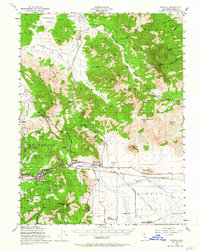
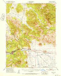
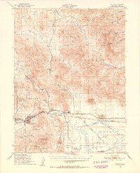
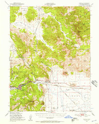
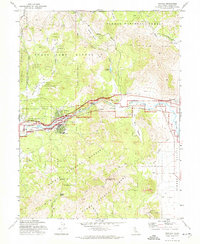
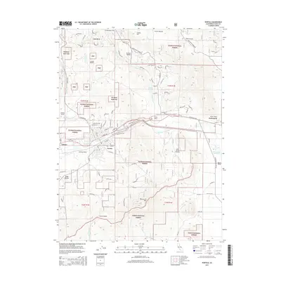
Loading map...1950 Map of Portola
USGS Topo · Published 1964About this map
The Middle Fork Feather River carves through the heart of this Plumas County landscape, following a corridor shared by the Western Pacific railroad. The settlement of Portola serves as a central hub, while the nearby community of Beckwourth sits at the edge of the wide Sierra Valley floor. This 1950 field-checked survey reveals an era of transition in land use, noting the Ramelli Ranch (Abandoned) and Island Sch (Aband) alongside active infrastructure like the Plumas County Airport.
Find a feature on this map
49 named features on this map. Tap any name to fly to it.
Don’t see what you’re looking for? This feature index may not catch every label — zoom into the map to look around manually.
Map Details
Date Portrayed1950
Date Published1964
PublisherU.S. Geological Survey
Map TypeTopographic
Scale1:62,500
Physical Dimensions16.6 x 20.8 inches
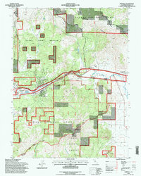
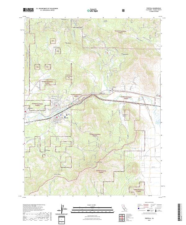
Editions of this 1950 Portola Map
4 editions found
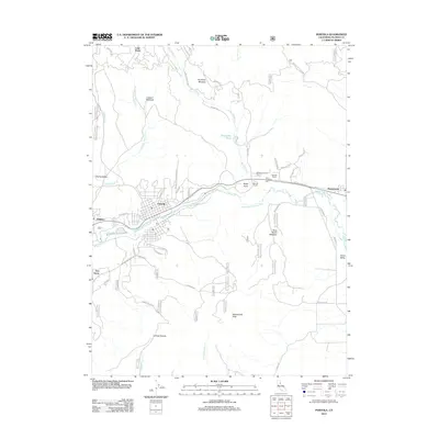
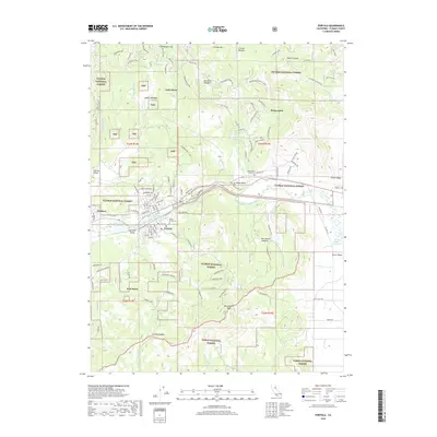
Historical Maps of Portola Through Time
8 maps found
Featured Locations
Source Details
SourceU.S. Geological Survey
CopyrightPublic Domain