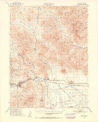
1950 Map of Portola
USGS Topo · Published 1952About this map
The Middle Fork Feather River valley anchors this mid-century survey, showing a landscape defined by the timber and transport industries of Plumas County. The town of Portola serves as a critical junction for the Western Pacific Railroad, while a Logging Railroad snakes north into the mountains from Delleker, illustrating the extraction economy of the Plumas National Forest. Local history is visible in features like the Island Sch (Aband) and several family-named landmarks such as Ramelli Ranch and Beckwourth. Beyond the settlements, the terrain transitions into the high country of the Dixie Mountain State Game Refuge and peaks like Crocker Mountain, while the presence of the Plumas County Airport and a Jeep Trail reflect the postwar modernization of travel and forest management in this corner of the Sierras.
Find a feature on this map
45 named features on this map. Tap any name to fly to it.
Don’t see what you’re looking for? This feature index may not catch every label — zoom into the map to look around manually.
Map Details
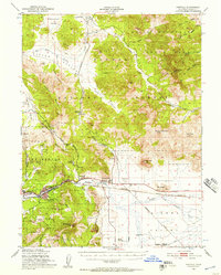
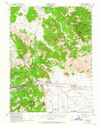
Editions of this 1950 Portola Map
4 editions found

Other maps of this area

1886 · Honey Lake
USGS Topo · 1:250,000

1890 · Sierraville
USGS Topo · 1:125,000

1891 · Downieville
USGS Topo · 1:125,000

1891 · Honey Lake
USGS Topo · 1:250,000

1892 · Sierraville
USGS Topo · 1:125,000

1893 · Honey Lake
USGS Topo · 1:250,000

1893 · Downieville
USGS Topo · 1:125,000

1894 · Sierraville
USGS Topo · 1:125,000

1895 · Downieville
USGS Topo · 1:125,000

1896 · Downieville
USGS Topo · 1:125,000