
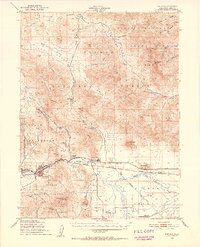
1950 Map of Portola
USGS Topo · Published 1952About this map
Portola serves as the central hub of this mid-century Sierra Nevada survey, situated where the Western Pacific Railroad follows the path of the Middle Fork Feather River. The landscape transitions from the high peaks of Crocker Mountain and Dixie Mtn down into the broad, flat expanse of the Sierra Valley to the southeast. This survey captures a specific moment in the regional economy, showing the Logging Railroad extending north into Dixie Valley and the Plumas County Airport established near Beckwourth. Rural life is marked by sites such as the Ramelli Ranch, the Island Sch (Aband), and Marble Hot Sprs. The map also delineates the extensive boundaries of the Plumas National Forest and the State Game Refuge, highlighting the early 1950s balance between industrial rail activity and forest conservation.
Find a feature on this map
55 named features on this map. Tap any name to fly to it.
Don’t see what you’re looking for? This feature index may not catch every label — zoom into the map to look around manually.
Map Details
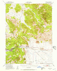
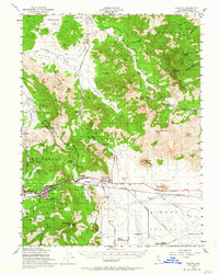
Editions of this 1950 Portola Map
4 editions found
Other maps of this area

1886 · Honey Lake
USGS Topo · 1:250,000

1890 · Sierraville
USGS Topo · 1:125,000

1891 · Downieville
USGS Topo · 1:125,000

1891 · Honey Lake
USGS Topo · 1:250,000

1892 · Sierraville
USGS Topo · 1:125,000

1893 · Honey Lake
USGS Topo · 1:250,000

1893 · Downieville
USGS Topo · 1:125,000

1894 · Sierraville
USGS Topo · 1:125,000

1895 · Downieville
USGS Topo · 1:125,000

1896 · Downieville
USGS Topo · 1:125,000