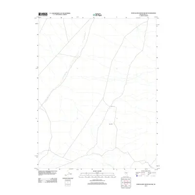
2012 Map of Portuguese Mountain NW
USGS Topo · Published 2012About this map
Sand Springs Wash defines the drainage patterns of this arid landscape in Nye County, cutting a diagonal path across the western portion of the terrain. The topography is dominated by the elevations of the Red Hills and the carved geography of Wood Cyn, illustrating the complex alluvial and erosional processes typical of the Great Basin. This 2012 survey by the U.S. Geological Survey captures the region's character through a network of unimproved roads and four-wheel-drive tracks that navigate between these landforms, highlighting the isolation and scale of the Nevada desert. The sparse nature of named features reflects the unpopulated character of the Portuguese Mountain NW quadrangle, where water and relief are the primary markers for navigation.
Find a feature on this map
3 named features on this map. Tap any name to fly to it.
Don’t see what you’re looking for? This feature index may not catch every label — zoom into the map to look around manually.
Map Details
Editions of this 2012 Portuguese Mountain NW Map
This is the sole edition of this map. No revisions or reprints were ever made.
Other maps of this area

1956 · Lund
USGS Topo · 1:250,000

1956 · Tonopah
USGS Topo · 1:250,000

1959 · Tonopah
USGS Topo · 1:250,000

1960 · Lund
USGS Topo · 1:250,000

1962 · Tonopah
USGS Topo · 1:250,000

1967 · Moores Station
USGS Topo · 1:62,500

1967 · Moores Station SE
USGS Topo · 1:24,000

1967 · Chaos Creek
USGS Topo · 1:24,000

1968 · Portuguese Mtn
USGS Topo · 1:62,500
1968 · Brown Summit SW
USGS Topo · 1:24,000