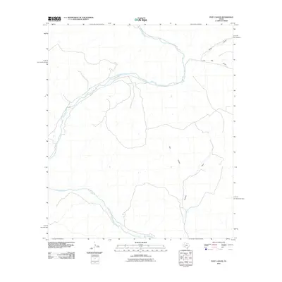
2010 Map of Post Canyon
USGS Topo · Published 2010About this map
The Pecos River snakes across this high desert landscape, carving a deep, winding path through the limestone plateau of Val Verde County. This 2010 survey reveals a drainage system defined by significant side canyons that feed into the main river channel from the north and south. Notable features include the long reaches of Post Canyon and Tanisiado Canyon, which cut through the dry uplands. Further northeast, Live Oak Canyon and Brown Canyon emphasize the jagged relief of the West Texas terrain. The map illustrates a region largely defined by its natural topography and the erosion patterns of the Pecos, showing few human developments outside of the primary local road network.
Find a feature on this map
5 named features on this map. Tap any name to fly to it.
Don’t see what you’re looking for? This feature index may not catch every label — zoom into the map to look around manually.
Map Details
Editions of this 2010 Post Canyon Map
This is the sole edition of this map. No revisions or reprints were ever made.
Other maps of this area

1954 · Sonora
USGS Topo · 1:250,000

1958 · Sonora
USGS Topo · 1:250,000

1970 · Antone Canyon
USGS Topo · 1:24,000

1970 · Pandale
USGS Topo · 1:24,000
1970 · Prince Albert Draw
USGS Topo · 1:24,000

1973 · Post Canyon
USGS Topo · 1:24,000
1973 · Hackberry Crossing
USGS Topo · 1:24,000
1973 · Sixshooter Canyon
USGS Topo · 1:24,000
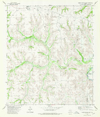
1980 · Geddis Canyon East
USGS Topo · 1:24,000
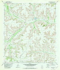
1980 · Oasis Ranch
USGS Topo · 1:24,000