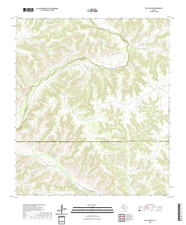
2022 Map of Post Canyon
USGS Topo · Published 2022About this map
The Pecos River carves a deep, sinuous path through this landscape, serving as the historical boundary between Crockett and Terrell counties. This 2022 survey illustrates the extremely isolated and vertical character of the Trans-Pecos region, where complex drainage systems like Post Canyon and Tanislado Canyon feed into the river valley. The terrain is marked by a network of named draws and ridges, including Live Oak Canyon and Brown Canyon, which underscore the geographic challenges of the territory. Human presence is sparse, centered primarily on large-scale ranching operations as evidenced by the Tres Ninos Ranch Airport in the south and the winding path of Co Rd 413 to the east. This map offers a precise view of the modern county lines at the intersection of Crockett, Terrell, and Val Verde counties.
Find a feature on this map
10 named features on this map. Tap any name to fly to it.
Don’t see what you’re looking for? This feature index may not catch every label — zoom into the map to look around manually.
Map Details
Editions of this 2022 Post Canyon Map
This is the sole edition of this map. No revisions or reprints were ever made.
Other maps of this area

1954 · Sonora
USGS Topo · 1:250,000

1958 · Sonora
USGS Topo · 1:250,000

1970 · Antone Canyon
USGS Topo · 1:24,000

1970 · Pandale
USGS Topo · 1:24,000
1970 · Prince Albert Draw
USGS Topo · 1:24,000

1973 · Post Canyon
USGS Topo · 1:24,000
1973 · Hackberry Crossing
USGS Topo · 1:24,000
1973 · Sixshooter Canyon
USGS Topo · 1:24,000
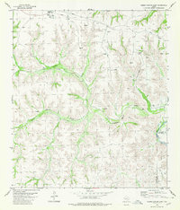
1980 · Geddis Canyon East
USGS Topo · 1:24,000
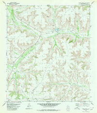
1980 · Oasis Ranch
USGS Topo · 1:24,000