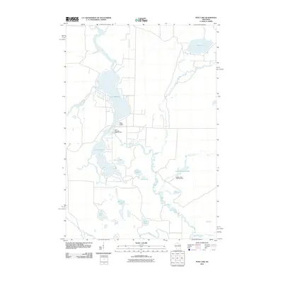
2010 Map of Post Lake
USGS Topo · Published 2010About this map
The Wolf River anchors this drainage basin in Langlade County, where its path is significantly shaped by water management structures. The settlement of Post Lake sits near the critical junction of Upper Post Lake and Lower Post Lake, where the Upper Post Lake 1866C352 Dam regulates flow between these major water bodies. This network of glacial lakes and slow-moving creeks reveals a landscape defined by its hydrography, featuring complex systems like the Spider Creek Flowage and the Spider Creek 2WP1403 Dam.
Find a feature on this map
24 named features on this map. Tap any name to fly to it.
Don’t see what you’re looking for? This feature index may not catch every label — zoom into the map to look around manually.
Map Details
Editions of this 2010 Post Lake Map
This is the sole edition of this map. No revisions or reprints were ever made.
Other maps of this area

1939 · Crandon
USGS Topo · 1:48,000

1940 · Monico
USGS Topo · 1:48,000

1941 · Crandon
USGS Topo · 1:48,000

1942 · Elcho
USGS Topo · 1:48,000

1942 · Pearson
USGS Topo · 1:48,000

1947 · Crandon
USGS Topo · 1:48,000

1950 · Monico
USGS Topo · 1:48,000

1950 · Elcho
USGS Topo · 1:48,000

1950 · Lily
USGS Topo · 1:48,000

1954 · Iron Mountain
USGS Topo · 1:250,000