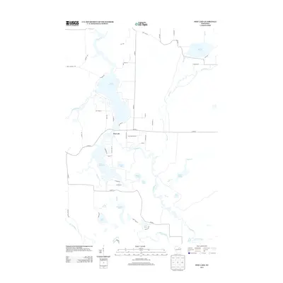
2013 Map of Post Lake
USGS Topo · Published 2013About this map
Wolf River snakes through this northern Wisconsin landscape, connecting the expansive waters of Upper Post Lake and Lower Post Lake. The settlement of Post Lake serves as the central hub of this water-rich region, where local life is defined by the intricate network of streams and flowages. To the east, the Spider Cr Flowage and Swamp Creek dominate the terrain, while the southern reaches are marked by the confluence of the Hunting River and Pickerel Creek.
Find a feature on this map
61 named features on this map. Tap any name to fly to it.
Don’t see what you’re looking for? This feature index may not catch every label — zoom into the map to look around manually.
Map Details
Editions of this 2013 Post Lake Map
This is the sole edition of this map. No revisions or reprints were ever made.
Other maps of this area

1939 · Crandon
USGS Topo · 1:48,000

1940 · Monico
USGS Topo · 1:48,000

1941 · Crandon
USGS Topo · 1:48,000

1942 · Elcho
USGS Topo · 1:48,000

1942 · Pearson
USGS Topo · 1:48,000

1947 · Crandon
USGS Topo · 1:48,000

1950 · Monico
USGS Topo · 1:48,000

1950 · Elcho
USGS Topo · 1:48,000

1950 · Lily
USGS Topo · 1:48,000

1954 · Iron Mountain
USGS Topo · 1:250,000