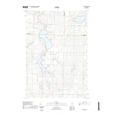
2018 Map of Post Lake
USGS Topo · Published 2018About this map
The Wolf River flows through this corner of the Wisconsin Northwoods, connecting a series of large glacial water bodies including Upper Post Lake and Lower Post Lake. This 2018 survey reveals a landscape where the Post Lake settlement serves as a central hub, surrounded by a dense network of residential roads like W Shore Dr and Post Lake Dr. The terrain is defined by its complex hydrography, featuring smaller isolated basins such as Wamin Lake, Aninnan Lake, and Loon Lake.
Find a feature on this map
64 named features on this map. Tap any name to fly to it.
Don’t see what you’re looking for? This feature index may not catch every label — zoom into the map to look around manually.
Map Details
Editions of this 2018 Post Lake Map
This is the sole edition of this map. No revisions or reprints were ever made.
Other maps of this area

1939 · Crandon
USGS Topo · 1:48,000

1940 · Monico
USGS Topo · 1:48,000

1941 · Crandon
USGS Topo · 1:48,000

1942 · Elcho
USGS Topo · 1:48,000

1942 · Pearson
USGS Topo · 1:48,000

1947 · Crandon
USGS Topo · 1:48,000

1950 · Monico
USGS Topo · 1:48,000

1950 · Elcho
USGS Topo · 1:48,000

1950 · Lily
USGS Topo · 1:48,000

1954 · Iron Mountain
USGS Topo · 1:250,000