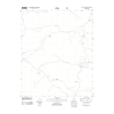
2011 Map of Post Office Flat
USGS Topo · Published 2011About this map
Copperton and the surrounding high-desert terrain of Cibola County are defined by a network of historic ranching and mining sites. The landscape is carved by significant drainages like Bluewater Creek and Copperton Canyon, which provided the necessary water sources for early land claims. Names like the Serna Homestead and Wilcoxson Ranch indicate the area's pastoral roots, while the Mirabal Mine near Diener Canyon points to the region's mineral interests. The presence of Post Office Flat suggests a central gathering point or former service hub for these remote outposts. Numerous water features, including Serna Spring and Agua Media, underscore the critical importance of reliable springs in this environment, connected by a web of routes such as Forest Rd 50 and Rd 421.
Find a feature on this map
21 named features on this map. Tap any name to fly to it.
Don’t see what you’re looking for? This feature index may not catch every label — zoom into the map to look around manually.
Map Details
Editions of this 2011 Post Office Flat Map
This is the sole edition of this map. No revisions or reprints were ever made.
Other maps of this area

1886 · Wingate
USGS Topo · 1:250,000

1892 · Wingate
USGS Topo · 1:250,000

1951 · Mt Sedgwick
USGS Topo · 1:24,000

1952 · Valle Largo
USGS Topo · 1:24,000

1952 · Post Office Flat
USGS Topo · 1:24,000

1952 · Paxton Springs
USGS Topo · 1:24,000

1954 · Gallup
USGS Topo · 1:250,000

1958 · Gallup
USGS Topo · 1:250,000

1959 · Gallup
USGS Topo · 1:250,000

1961 · Cottonwood Canyon
USGS Topo · 1:24,000