Loading...
Loading map...1955 Map of Poston
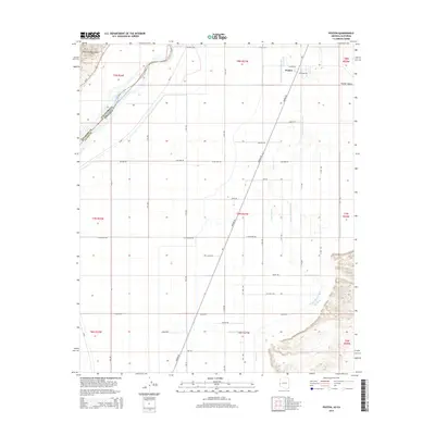
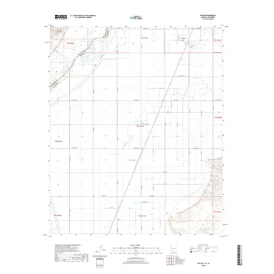
USGS Topo · Published 1971About this map
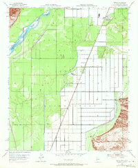
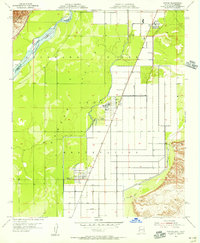
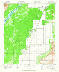
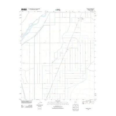
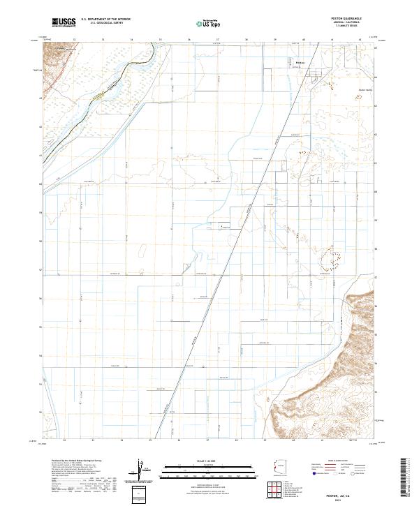
The Colorado River serves as the dominant boundary on this mid-century survey, defining the border between California and Arizona and the split between Riverside and Yuma counties. The landscape is characterized by the organized infrastructure of the Indian Reservation, where a geometric grid of roads and canals supports local settlements. The town of Poston and the secondary site of Poston 2 are the primary hubs, with social and logistical life anchored at the Poston School.
Find a feature on this map
18 named features on this map. Tap any name to fly to it.
Don’t see what you’re looking for? This feature index may not catch every label — zoom into the map to look around manually.
Map Details
Date Portrayed1955
Date Published1971
PublisherU.S. Geological Survey
Map TypeTopographic
Scale1:24,000
Physical Dimensions22 x 26.8 inches
Editions of this 1955 Poston Map
3 editions found
Historical Maps of Poston Through Time
5 maps found
Featured Locations
Source Details
SourceU.S. Geological Survey
CopyrightPublic Domain